Explore our new educator’s guide to NOAA data.
Did you know that NOAA collects terabytes of data every day from weather stations, radar, satellites, ships, buoys, and sensors? But this information isn’t just collected for our scientists to use. Anyone can take on the role of scientist using our publicly available data. But with dozens of websites and hundreds of variables to choose from, it can be tricky for educators to know how to get their students started with real Earth science data.

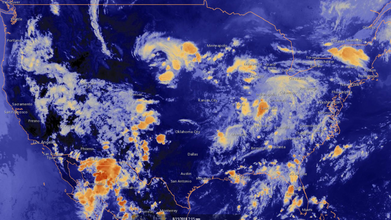
A screenshot of GOES East Infrared Satellite Image - Latest 24 Hours Western Hemisphere over North America from 8/16/18. (Image credit: NOAA National Environmental Satellite, Data, and Information Service)
Look no further than our Data Resources for Educators collection, rolling out just in time for the new school year. This updated and expanded site offers a selection of user-friendly resources that showcase NOAA science.
Our classroom-ready modules were designed specifically with educators in mind. They use NOAA data in lesson plans and curricula for an experience that will be familiar to teachers.
Our other data resources come in a variety of formats and are not associated with lesson plans. However, the ones we highlight are particularly easy to use and focus on specific topics or data formats.
- Climate: Whether you’re looking into the past or predicting the future, these resources let you work directly with the data that make up our climate record on land, in the atmosphere, and at sea.
- Historical: Long-term data and past events offer insights into how our planet works. Peer into observations from past decades, centuries, and beyond to see what has happened on Earth, how conditions have changed, and how they might change in the future.
- Ocean and freshwater: We live on a water planet. Follow marine animals as they navigate the ocean, get your local tide and current predictions, or see what sea level rise may have in store for coastal communities. You can also explore river observations and trends in snow and ice.
- Weather and atmosphere: Go beyond your local weather forecast with these tools. Watch the Earth from a satellite’s view in space, explore data collected by citizen scientists, and monitor hazards like hurricanes, wildfires, and droughts.
So roll up your sleeves, fire up your browser, and start exploring Earth science data! If you have questions about using data in your classroom, contact us at education@noaa.gov.


