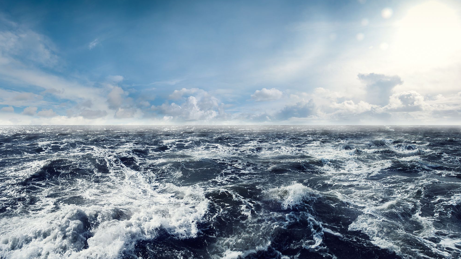
Do you love to swim in the ocean in the summer? Do you love a good seafood dish for dinner? Whatever your reason for loving the ocean, we invite you to join us in celebrating National Ocean Month with NOAA Research! While our planet is mostly ocean – more than 70 percent – there is still so much to learn about ocean systems, how they are changing, and how humans are impacting our ocean and Great Lake ecosystems. Let’s take a look at some of the exciting work NOAA Research teams conduct around the globe to better understand the ocean:
Atlantic Ocean
NOAA’s research in the Atlantic Ocean on ocean currents, ocean acidification, and coral reefs are imperative for understanding how our global ocean functions and the impacts humans are having on marine ecosystems.
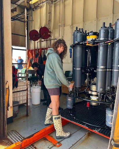
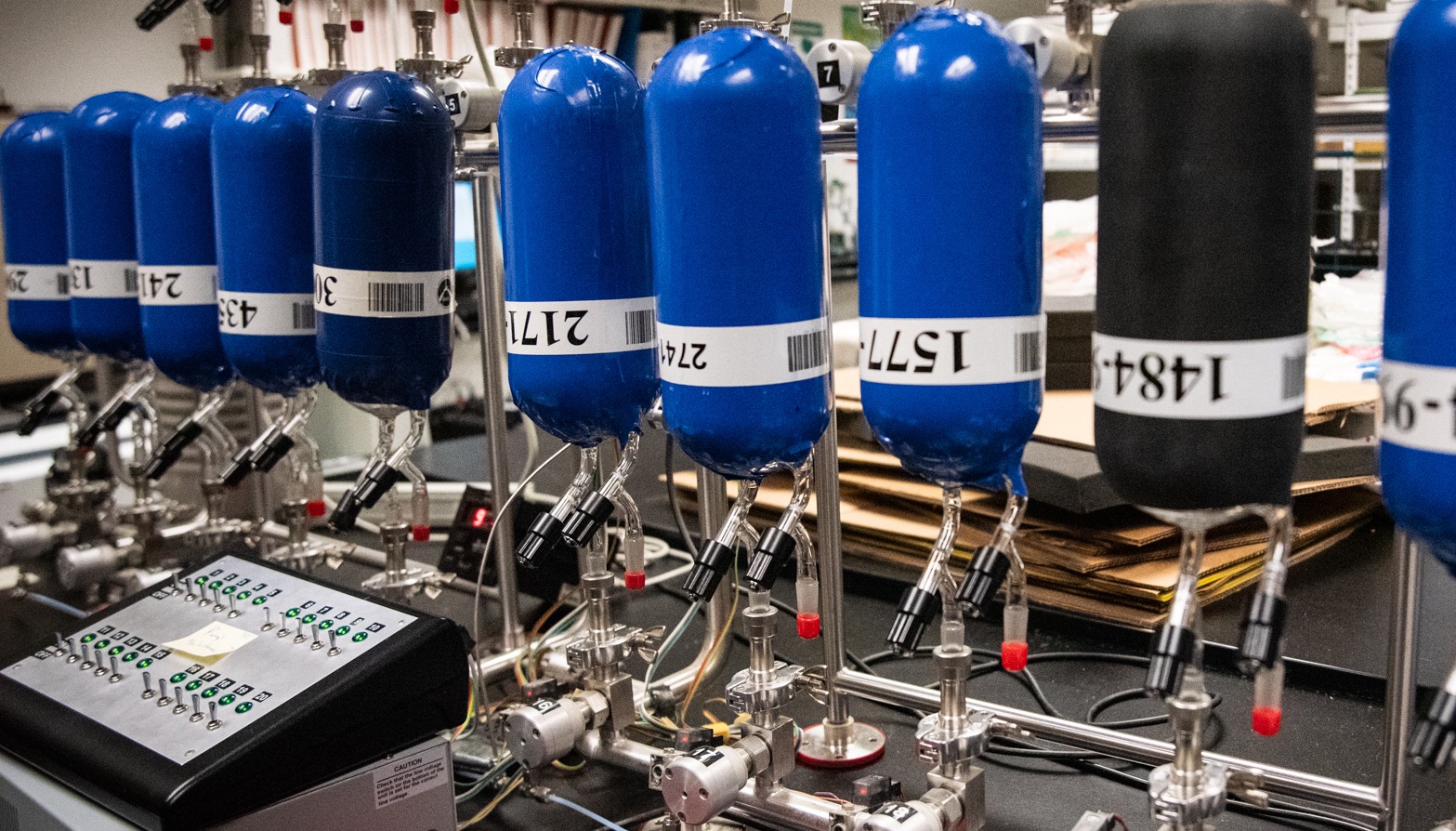
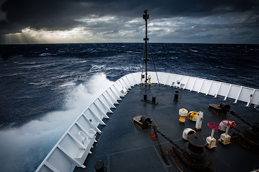
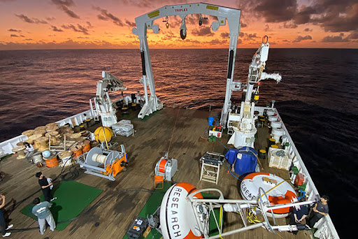
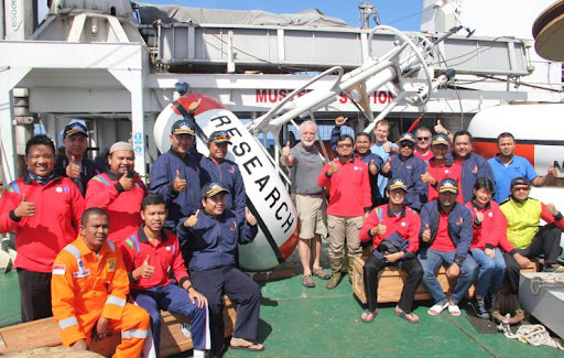
Earlier this year, the NOAA GO-SHIP cruise set sail to study changes in the ocean’s circulation and uptake of human-released carbon dioxide along a 5,000+ mile-long cruise track from Brazil to Iceland. The team of scientists and crew successfully collected over 3,000 samples from the Atlantic’s surface to the seafloor, giving scientists a holistic snapshot of the Atlantic Ocean basin that added to a 30-year data set.
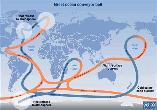
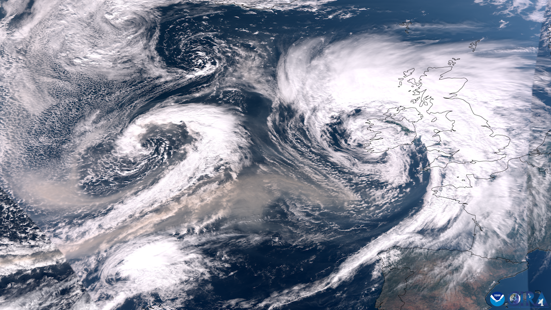
Ocean circulation is one of the main ways heat, salt, carbon, and nutrients move throughout the global ocean. Achieving a more complete understanding of the behavior of the Meridional Overturning Circulation (MOC), one of the key parts of ocean circulation, requires an observational network spanning the globe. Scientists at the NOAA Atlantic Oceanographic and Meteorological Laboratory (AOML) study the MOC to better understand the relationship between the ocean circulation and extreme weather events, including global monsoons, heat waves, hurricanes, and droughts.
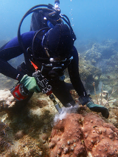
The Atlantic Ocean is also home to coral reefs which provide habitat to commercially important species, opportunities for recreation and tourism, and protection from storm surge. AOML recently released a new study that established a monitoring framework for evaluating reef persistence under changing ocean conditions.
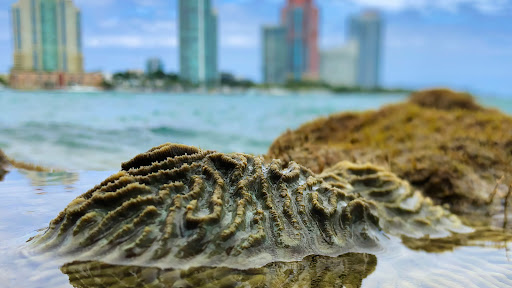
AOML is investigating the impacts of disease and changing environmental factors, such as temperature and ocean acidification, on coral health. This research provides essential information for understanding the effects of climate change and human activity on coral reefs and identifying techniques to help restore and ensure coral resilience in the future.
Pacific Ocean
The Pacific Ocean is the largest and deepest ocean basin on Earth, and much of the Pacific remains unexplored. NOAA studies and maps the Pacific to learn more about ocean warming, deep sea resources, climate and weather patterns, and more. In 2023, NOAA embarked on a mission to map the seafloor of areas that had never been surveyed and study coral reef health and ocean conditions in American Samoa and the Pacific Remote Island Areas.
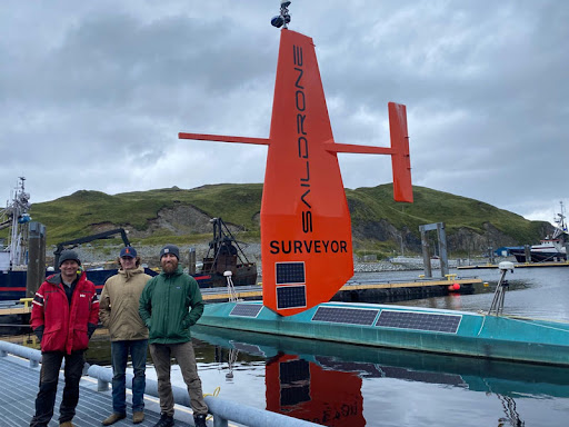
NOAA recently partnered with two of Australia’s leading science agencies to advance Pacific Ocean exploration and mapping. Ocean mapping is a major priority for NOAA and the United Nations Ocean Decade,which aims to map the ocean floor by 2030 through the Seabed 2030 Initiative. As part of this effort, NOAA and partners sent uncrewed surface vehicles to remote Alaskan waters to collect mapping and other environmental data in a region of the ocean that is challenging for humans to access.
The tropical eastern Pacific Ocean is where the weather pattern known as the El Niño–Southern Oscillation (ENSO) occurs. ENSO impacts various aspects of our daily lives, including weather patterns, agriculture, fisheries, marine transportation, and energy production. NOAA studies ENSO conditions in the Pacific Ocean through the use of Tropical Atmosphere-Ocean (TAO) buoys. These buoys are getting a make-over between now and 2027 by the National Data Buoy Center that will improve our ENSO forecasts.
Indian Ocean
The Indian Ocean is important to ocean systems such as monsoon formation, climate patterns, and more. NOAA participates in multiple international partnerships throughout the region to improve weather and climate forecasting. Weather patterns in this region can also influence weather in the United States.
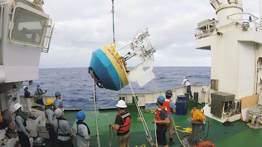
NOAA’s Pacific Marine Environmental Laboratory (PMEL) studies the Indian Ocean’s role in monsoon formation where one-third of the world’s population depends on monsoon-driven rainfall for agriculture. Scientists use the Research Moored Array for African-Asian-Australian Monsoon Analysis and Prediction (RAMA) to improve our understanding and ability to predict monsoons in this data-sparse region. In May 2023, PMEL scientists partnered with a Korean research agency on a research cruise to maintain RAMA moorings and deploy eight drifting buoys in support of NOAA’s Global Drifter Program.
NOAA also recently renewed a 17-year-long partnership with the Indonesian Meteorology, Climatology, and Geophysical Agency to enhance climate research that strengthened our ocean and atmospheric observations for improved weather and climate prediction, and improved information for regional climate decision support services.
Arctic Ocean
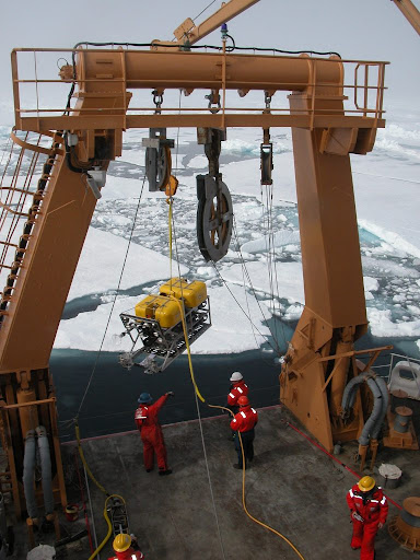
The Arctic is warming more than twice as fast as the rest of the globe, which is having dramatic consequences on the weather, natural environment, and communities living in the Arctic. NOAA studies the Arctic Ocean to increase our understanding of processes involving the circulation of ocean heat into and out of the Arctic region, and how they impact the stability of our global climate.
Explore the 2022 Arctic Report Card released earlier this year from the Arctic Research Program for an updated annual view into the state of the Arctic that measures eight key vital signs of the Arctic’s climate and environmental system.
Southern Ocean
The Southern Ocean circles Antarctica and functions as an important connector between the atmosphere and deep ocean for the transfer of heat and carbon. The Southern Ocean is also a major buffer against climate change, absorbing as much as 75 percent of the excess heat and 40 percent of human-generated carbon dioxide emissions taken up by the global ocean.
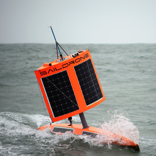
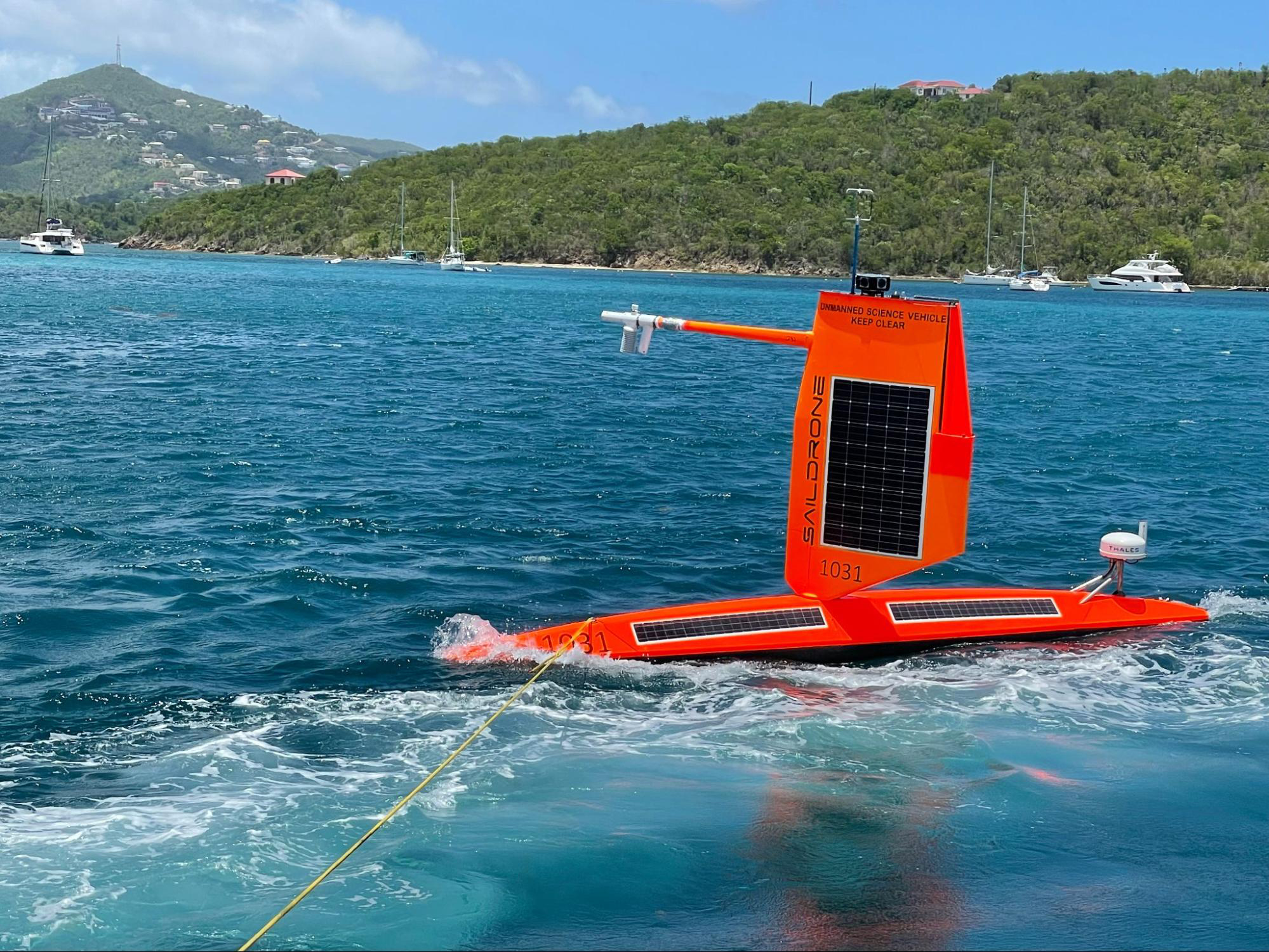
In partnership with Saildrone, NOAA marked a technological triumph over some of the fiercest marine conditions on Earth when a Saildrone circumnavigated Antarctica in 2019, collecting climate data in turbulent environments that are often too dangerous for humans to travel to in order to collect data and observations.
NOAA researches our ocean to improve our understanding of ocean systems that impact global weather, climate, and marine ecosystems. If you want to learn more about current NOAA research, visit our website and make sure to follow us on Instagram, Twitter, and Facebook.