Read all
More stories in Goal 1
The Colorado River Basin is a primary water source for more than 40 million people across several states and Tribal Nations. Rising in mountainous headwater regions, snowmelt generates the majority of streamflow and water reservoir storage in the basin. However, a 20-year drought and warming caused by climate change have significantly impacted water availability and resulted in the first-ever declaration of shortage conditions by the Bureau of Reclamation in 2021.

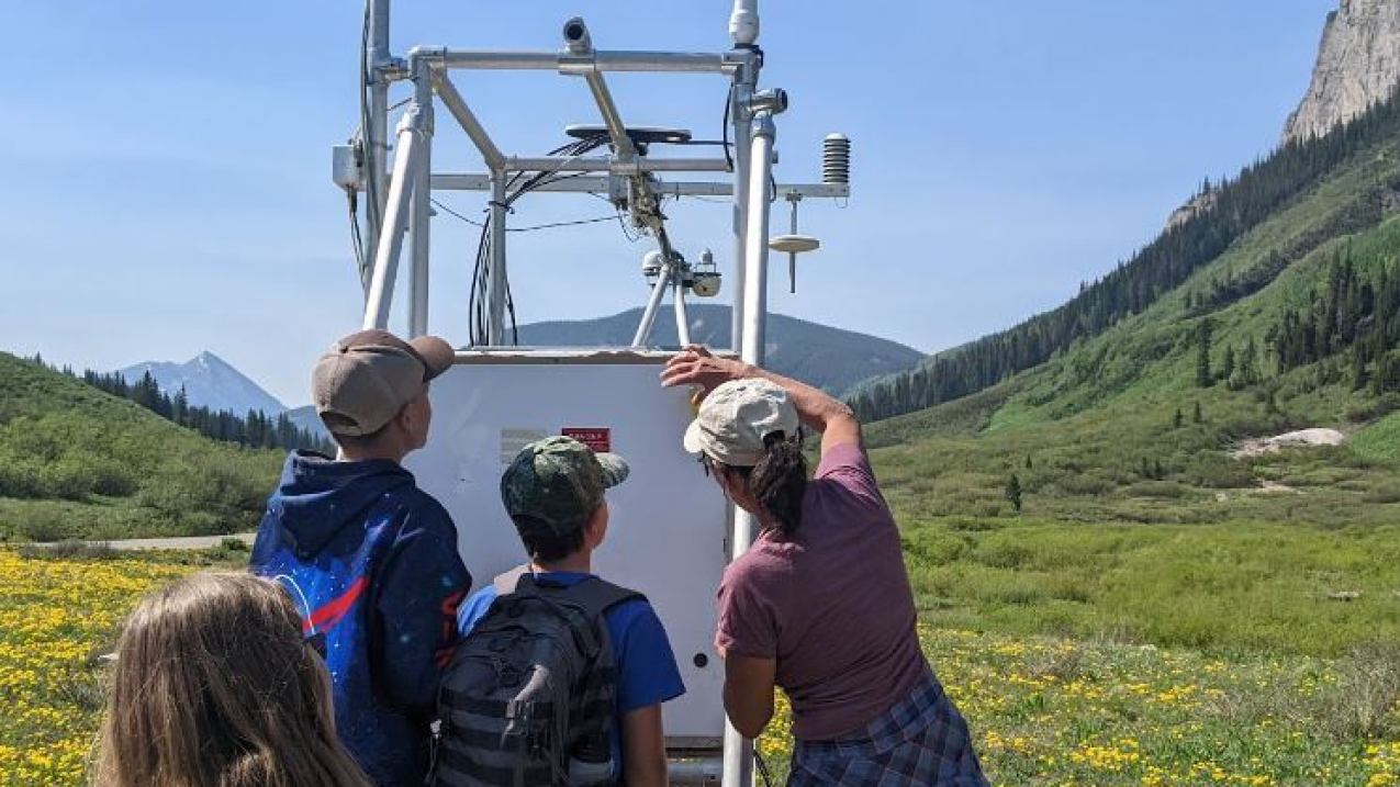
Students from local middle schools visited the Study of Precipitation, the Lower Atmosphere, and Surface for Hydrometeorology (SPLASH) field sites near Crested Butte, Colorado to learn more from researchers about the study and its instruments. (Image credit: Katya Schloesser, Cooperative Institute for Research in Environmental Sciences)
Read all
More stories in Goal 1
That same year, NOAA Research and its partners launched the Study of Precipitation, the Lower Atmosphere, and Surface for Hydrometeorology (SPLASH) to better understand how precipitation forms in complex, high-altitude terrain and help improve weather forecasts and runoff estimates.
High in the Rocky Mountains, researchers installed a comprehensive, state-of-the-art observing network near Crested Butte, Colorado, in a watershed critical to the region’s water supply. Temperature, precipitation, soil moisture, and snowpack properties are a few of the many measurements being captured on the ground and in the air from a variety of instruments.
To educate and inform the public about SPLASH in a fun and engaging way, NOAA Research turned to the power of illustration. The Cooperative Institute for Research in Environmental Sciences (CIRES) offsite link and NOAA Physical Sciences Lab researcher Gijs de Boer pursued an idea to transform some of the instruments into superhero characters that have special powers to capture critical environmental measurements. After working with a local concept artist to design the characters, de Boer and other staff members brainstormed the superheroes’ names and superpowers. For example, MegaX, more commonly known as the X-Band radar, uses its beam power to map out where snow and rain are falling across a large area. The Superheroes of SPLASH have been used on informational signs at the field sites for visitors to the area to learn more about these instruments, and are featured in a NOAA Story Map which has more than 1,600 views offsite link. An overview video about the campaign is also available on YouTube and the SPLASH website, with more than 200 views.

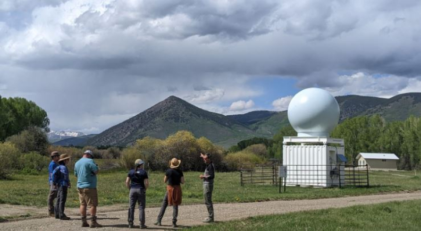
During summer 2022, SPLASH also connected with the community through a field-based course offsite link for educators, in conjunction with CIRES and the Western Colorado University Summer Teacher Institute in Gunnison, Colorado. Four middle and high school science teachers, and one educator from Denver Water visited the field sites to gain a deeper understanding of how scientists collect data to inform large scale weather and water supply prediction models. They learned about different data collection methods, several large scale models, and saw science and engineering practices in place. The educators also took 360° footage and photos and wrote text descriptions that will be used for a Virtual Reality Tour of the sites.
Eleven local middle school students also participated in a summer experience (in conjunction with CIRES and the Gunnison Watershed School District). The students spent four half-days learning about the research being done and how precipitation forms in the Rocky Mountains. They hiked, drew, collected data, and heard from researchers at the sites up and down the valley.
Although SPLASH will wrap up in summer 2023, NOAA Research hopes to continue educating students and the public about the importance of SPLASH observations to advance scientific understanding and improve weather and water forecasts in this region.


