El Niño weakens, but his sister might be coming

NOAA issues La Niña Watch

Weather and climate patterns around the globe will see some changes as the 2015–16 strong El Niño is on the decline and predicted to end by early summer. On its heels, potentially, is La Niña.
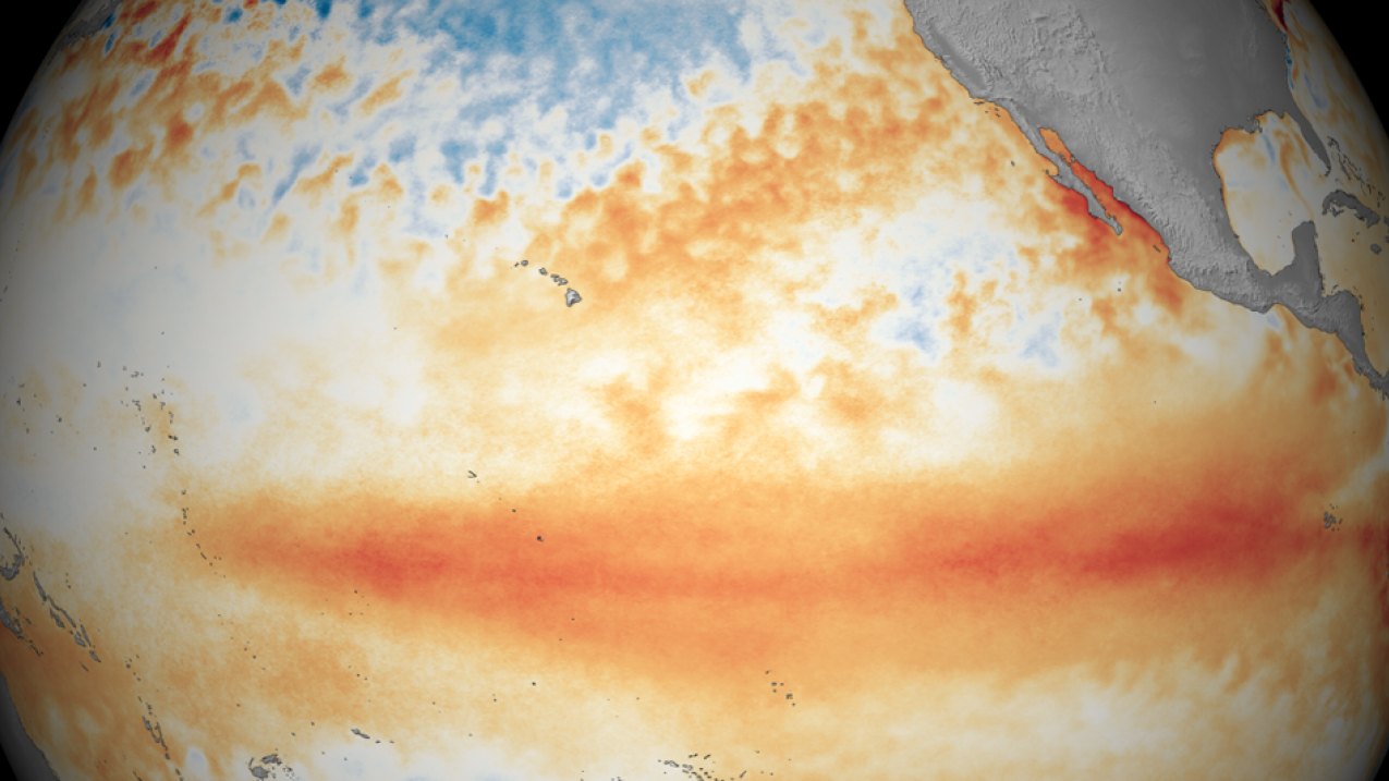
Tropical Pacific sea surface temperature patterns for March 2016, showing El Niño conditions.

Tropical Pacific sea surface temperature patterns for March 2016, showing El Niño conditions. (Image credit: NOAA)

In its April update, NOAA forecasters issued a La Niña Watch, meaning that conditions were favorable for La Niña to develop within the next six months. While chances are greater that La Niña could develop by fall, not all El Niños are followed by La Niñas.

La Niña — the opposite of El Niño — is a natural ocean-atmospheric phenomenon marked by cooler-than-average sea surface temperatures in the central Pacific Ocean near the equator.  During the winter, typical La Niña effects include drier and warmer-than-average temperatures over the southern United States, and cooler-than-average temperatures in the southern tier of Alaska, Pacific Northwest and across the Midwest.

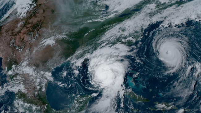
Both El Niño and La Niña influence Atlantic hurricane formation. El Niño often leads to fewer hurricanes because of stronger wind shear which rips potential hurricanes apart. La Niña tends to reduce that wind shear — potentially meaning more hurricanes. NOAA will issue its 2016 Atlantic Hurricane Season Outlook May 27.