NOAA's 2018 Business Brief highlights many NOAA achievements, including those related to: extreme weather and water events; the blue economy; and observational and cyber infrastructure. NOAA innovations are also highlighted.
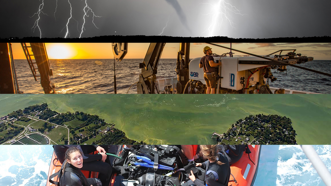
NOAA's 2018 Business Brief cover. (Image credit: NOAA)
How proud I am to introduce NOAA's 2018 Business Brief! As this report shows, the outstanding work of NOAA staff in advancing our strategic priorities has led to an innovative range of scientific and technological achievements and a healthy return on our nation’s investments.
I am especially proud that job satisfaction at NOAA has risen steadily over the past six years, topping 70 percent in 2018 and exceeding the federal average.
By putting people first, forging strong partnerships, and achieving progress through innovation, NOAA has a profound local-to-national and global reach. The impact on lives, livelihoods and America's economic prosperity and national security is enormous.
Everyone at NOAA and our many partners can take great pride in this report, which provides a sampling of visionary, often pioneering collaboration and a glimpse of exciting innovations on the horizon.
Thank you!
Neil A. Jacobs, Ph.D.
Assistant Secretary of Commerce for Environmental Observation and Prediction performing the duties of Under Secretary of Commerce for Oceans and Atmosphere

Extreme weather and water events
Weather helps shape lives and livelihoods and has a profound impact on the U.S. economy. Continuing a historic trend, there were 14 U.S. billion-dollar events in 2018. Totaling $91 billion, the number and cost of these events trailed only those of 2011, 2016 and 2017.
NOAA investments paid off at 2018 hotspots. In September, days before Hurricane Michael hit Florida, NOAA's track, lead-time, storm-surge and flood projections meant assets were ready and the public warned. In December, NOAA's close working relationships with local emergency managers and on-target tornado forecasts helped keep an Illinois community safe. A parade was canceled shortly before a strong tornado struck. Five hundred buildings were destroyed, but no lives were lost.
NOAA’s National Water Model was key to accurately forecasting catastrophic flood levels during Hurricane Florence. Effective drought prediction helped water resource managers and many others mitigate drought's impact. NOAA exceeded research-to-operations targets in 2018 by producing, for example, a fast, high-resolution product that increases weather forecast accuracy and doubles lead time for some hazards.


Blue economy
Rising fast on the horizon, a blue economy offers great promise for making our nation safer, healthier and more prosperous. NOAA is on the front lines of this emerging new ocean economy, pioneering the science, techniques and tools to help it grow wisely and sustainably.
In particular, NOAA's science and collaborative efforts to end overfishing and rebuild stocks are showing results. Overfished stocks are at an all-time low. Canary rockfish were rebuilt in 15 years instead of the expected 30. Pacific ocean perch were rebuilt 34 years ahead of schedule. As a global leader in sustainable fisheries, NOAA is also on the front lines of aquaculture, modeling economically and environmentally viable ways to support this visionary and steadily growing U.S. industry.
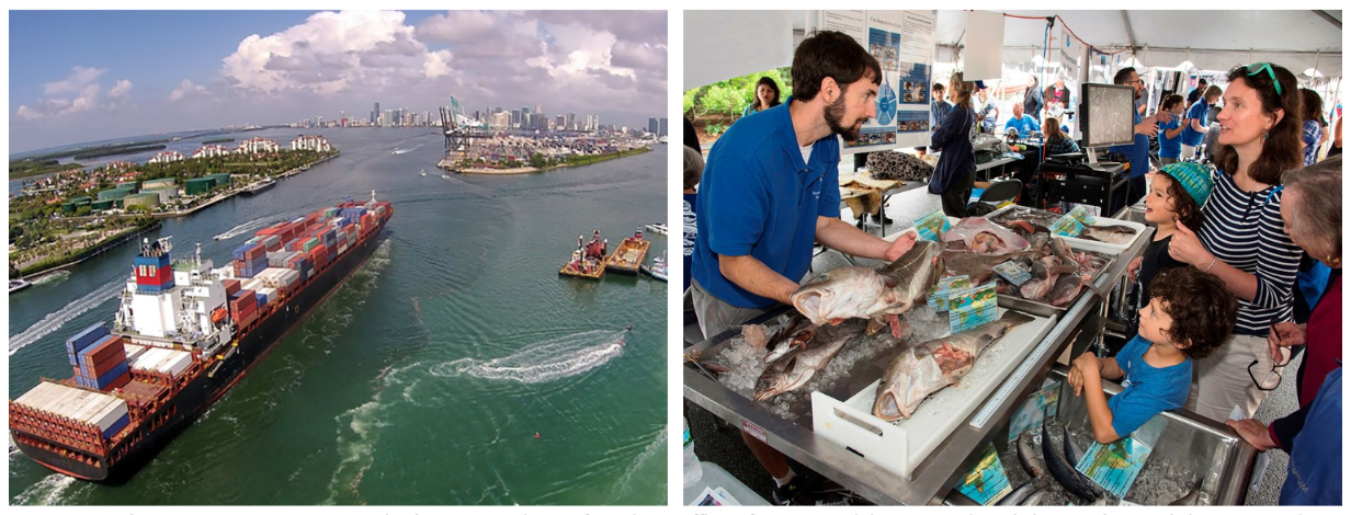
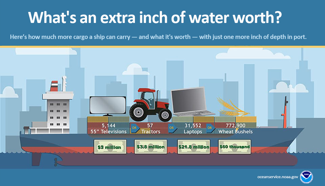
A thriving blue economy stems from healthy ocean and coastal resources, and NOAA's role in mapping and studying them is critical. Mariners rely on NOAA nautical charts to support navigation along nearly 95,000 miles of ocean and coasts. NOAA's HAB forecasts are vitally important in supporting state and local decisions in coastal communities, which now represent about 50 percent of GDP. In 2018, these forecasts helped Washington State open a razor clam fishery, adding about $7 million to regional revenue.



Observational and cyber infrastructure
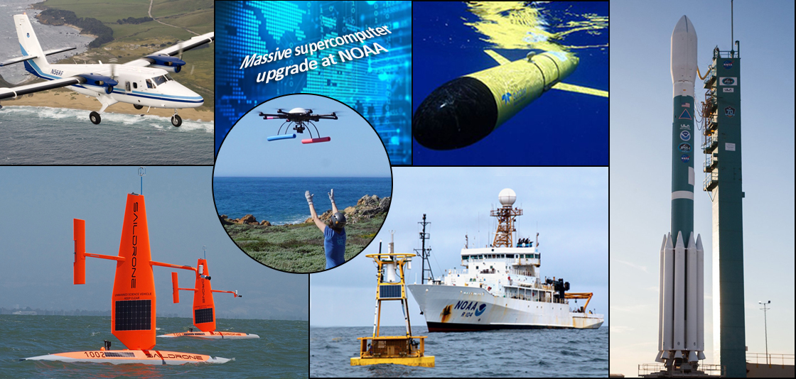
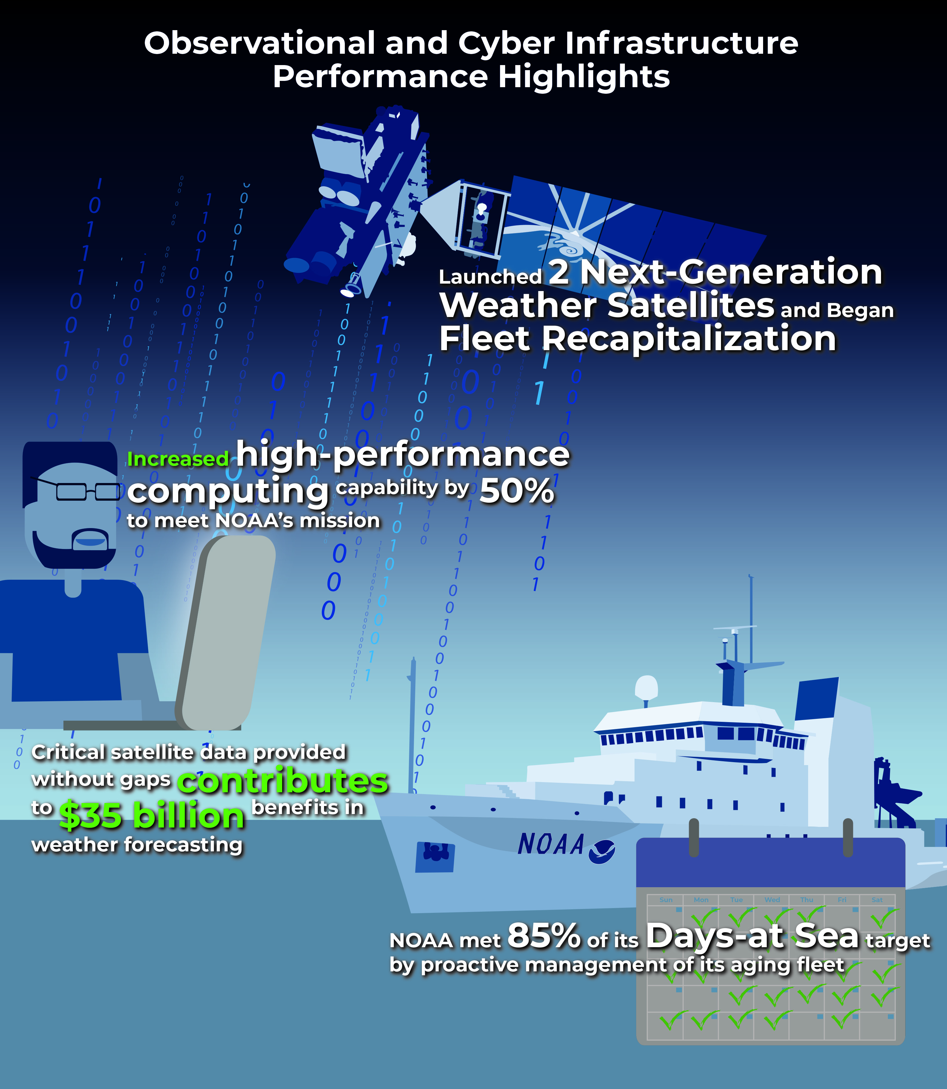
NOAA ships, planes, satellites and computing power were used to full advantage during the active 2018 hurricane and wildfire seasons. Satellites exceeded NOAA’s goal of providing critical real-time satellite data without gaps.
Two geostationary satellites, GOES-East and GOES-West, improved hurricane tracking and smoke detection. The satellites scan five times faster, quadruple image resolution, and triple the channels of precursors. NOAA Ship Ronald H. Brown completed an international mission to service buoys monitoring waters that influence U.S. heat waves and flooding.
A massive NOAA supercomputer upgrade boosted high-performance capability by 50 percent and added 60 percent more storage capacity, enabling billions of observations from planes, satellites, buoys and ground stations to be ingested and analyzed daily.
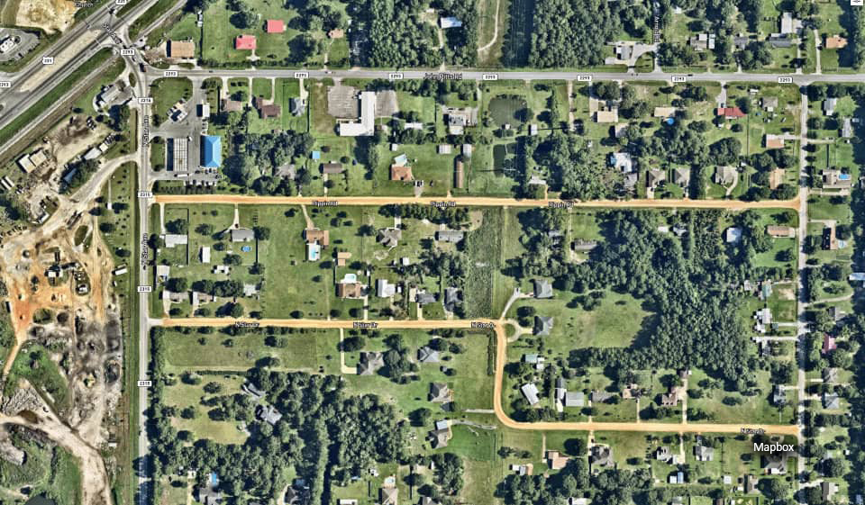
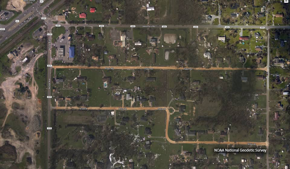
Last October, in the aftermath of Hurricane Michael, NOAA’s National Geodetic Survey collected nearly 10,000 aerial damage assessment images covering more than 4,000 square miles.
The images are a crucial and cost-effective tool to assess flood and other damage to major ports, coastal communities, coastlines and waterways.
From aboard NOAA’s King Air aircraft, and coordinating closely with FEMA and other partners, NOAA’s team captured the images using remote-sensing cameras.
Scroll down to see the hurricane damage near Bayou George, Florida.
NOAA innovations!
Unmanned systems
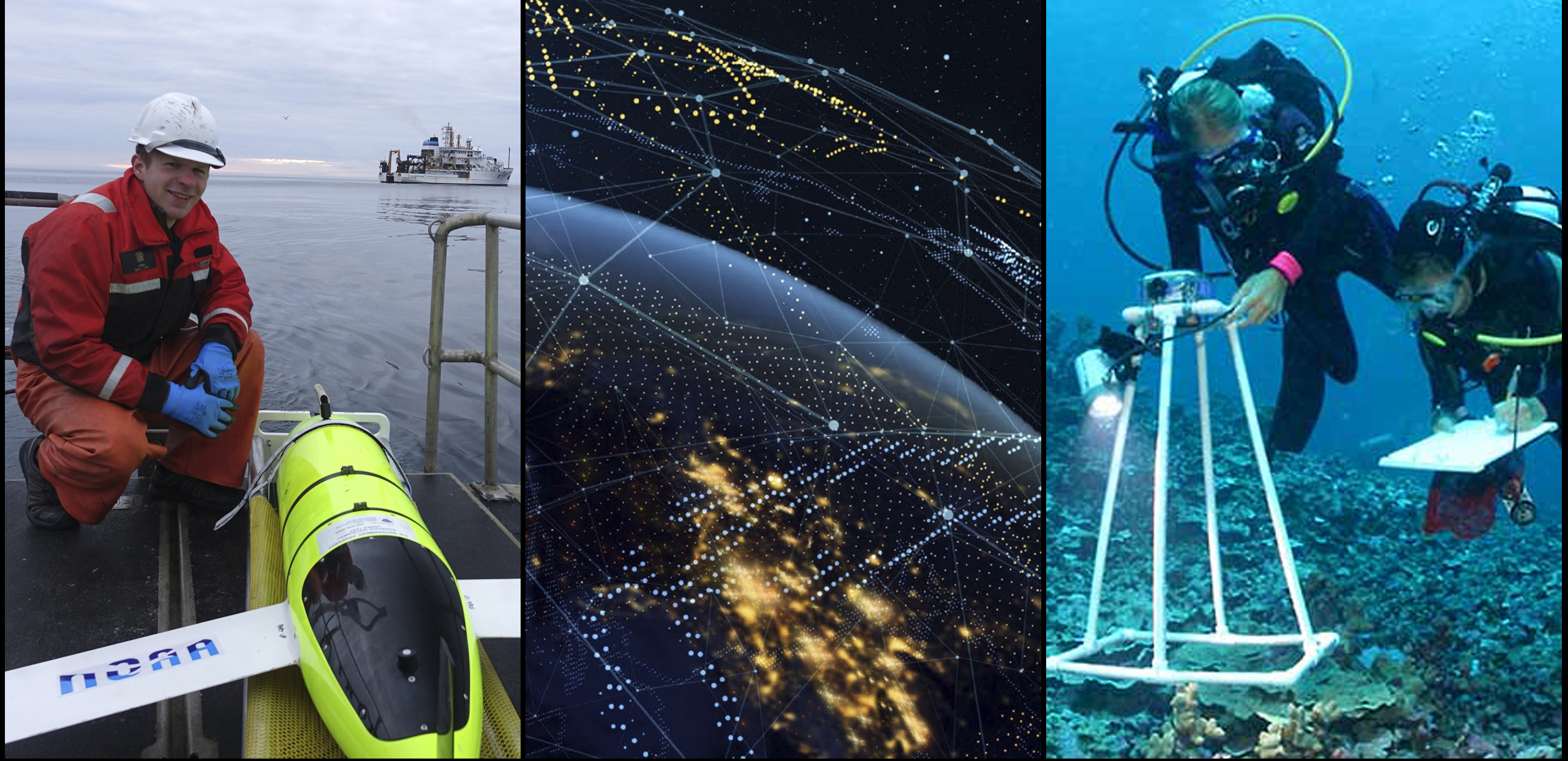
During the 2018 hurricane season, the U.S. Integrated Ocean Observing System (IOOS) and NOAA's Atlantic Oceanographic and Meteorological Laboratory worked with the Navy and IOOS Regional Association partners to position gliders in the Atlantic Ocean and Caribbean Sea. By collecting real-time observations before Hurricanes Florence and Isaac hit, the deep-diving, torpedo-shaped gliders are helping forecasters better understand ocean conditions and improve forecasts ahead of hurricanes.
Artificial intelligence
Innovative uses of artificial intelligence and data science technologies are advancing NOAA’s mission. Researchers at NOAA’s Center for Satellite Applications and Research, for example, developed a prototype artificial intelligence extension to a software package used for remote sensing, data assimilation, preprocessing and quality control. Such innovation will significantly reduce the time required to generate products.
Genomics
Genes are being studied at the Atlantic Oceanographic and Meteorological Laboratory to better understand how marine organisms and ecosystems remain healthy. Scientists, for example, are researching the genes of corals that are resistant to warming waters and disease in order to advise restoration efforts. With partners, NOAA is testing the potential of autonomous underwater vehicles to conduct genomic analysis, which could reduce both reliance on living samples and the time required to process them.

Big data to the cloud
NOAA is committed to unleashing the power of open data. Working with five commercial cloud providers, NOAA is exploring how their services can freely, easily and equally put data from NOAA’s vast network of satellites, radars, super-computers and other assets into the hands of those who can put it to productive use. So far, more than 40 NOAA datasets have moved to commercial cloud providers.
OceanReports web app
NOAA, the Bureau of Ocean Energy Management and many partners have introduced, OceanReports, a web-based tool that draws on 100 data sources to analyze U.S. ocean “neighborhoods” as well as identifying the best sites for aquaculture and other industry use. Providing one-stop, fast and open access to custom reports and spatial data, the new tool will save public dollars, cut industry costs, reduce permitting time, and support ocean and coastal users and resource managers in more effectively managing space in the U.S. ocean.
Community weather modeling
NOAA and the National Center for Atmospheric Research plan a common modeling infrastructure to provide better weather and climate forecasts. Marking a fundamental shift toward community modeling, the new infrastructure will enable the entire weather enterprise to accelerate the transition from research to operations. With community modeling, improved weather and climate forecasts can more quickly benefit the public.
Working from pole to pole

NOAA works across the U.S. and globally.
- 11,400 NOAA employees work with partners, contractors, fellows, and university researchers
- Nearly 7,000 NOAA scientists and engineers study and monitor our environment
- 4 NOAA Nobel Prize winners
- 6 NOAA employees cited as 2019 "Black Engineers of the Year"
In 2018 alone...
- 34 teachers from 26 states went to sea on NOAA ships, advancing STEM education
- 4,400+ post-secondary students were trained in NOAA sciences through NOAA-funded programs
- 289 students from underrepresented communities were funded by NOAA’s Educational Partnership Program — after graduation, many began working at NOAA or other science agencies
To view the original NOAA 2018 Business Brief story map, please see this version on the ESRI website offsite link.


