Today we celebrate the start of National Surveyors Week offsite link with Buttermilk, a bronze survey marker that was installed in bedrock above New York City in 1833 by the first leader of the Survey of the Coast, Ferdinand Hassler. It's one of the oldest survey stations in the United States.
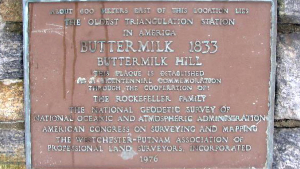
A plaque placed in 1976 to commemorate the oldest triangulation station in America. (Image credit: NOAA)
Today we celebrate the start of National Surveyors Week offsite link with Buttermilk, a survey marker that was installed in bedrock above New York City in 1833 by the first leader of the Survey of the Coast, Ferdinand Hassler. It's one of the oldest survey stations in the United States.
Buttermilk was one of many such locations used by Hassler during the years he worked as a surveyor and geodesist for the U.S. government. He marked it with a hole in 1833 but roughly 100 years later it was updated by the US Geological Survey with a bronze disc. It is unclear where the name for this mark originated, although many survey markers of the time period in the same region have similarly agrarian names such as Weasel (set in 1817).
Survey markers mark horizontal and vertical points and can come in many forms. They mark the places that surveyors use to set boundary lines and create maps. Hassler had been tasked by Congress to survey the coastline, and he began with points on the shore. In a time before GPS, he determined the site’s longitude (or east-west position in relation to Greenwich, England) and its latitude (or position north or south of the equator) using very sophisticated instruments and calculus. Then he marked each site with a “permanent” marker.
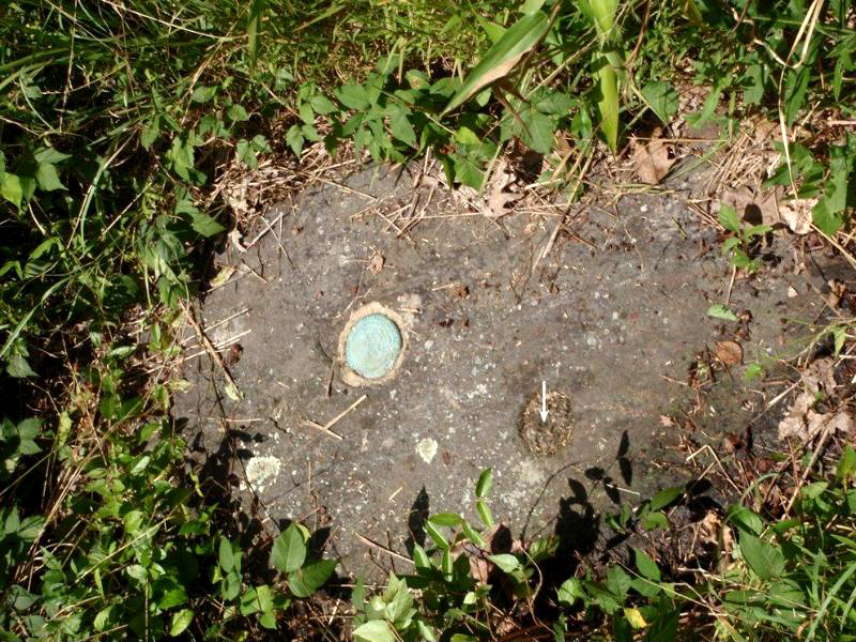
“The three most important characteristics of survey marks are stability, longevity and the ability of future surveyors to find and use the mark. In other words, the mark shouldn’t move, wash away, rust away, and/or be destroyed by cultural development and surveyors returning to the point need to be able to find it and positively identify it,” wrote former NOAA Corps Commander George Leigh in a paper on early survey marks.
Over the centuries, surveyors have used a wide variety of materials to keep markers in place. In Hassler’s time, markers were often placed in holes drilled into bedrock in the same way that Buttermilk was. But in locations where bedrock was not available they would sometimes also set markers by digging deep holes, placing rock in the bottom, and then using clay jugs or glass bottles topped by a signal pole. Many years later the markers were often topped with discs made of copper, brass or bronze, and those discs often were engraved with informational text.
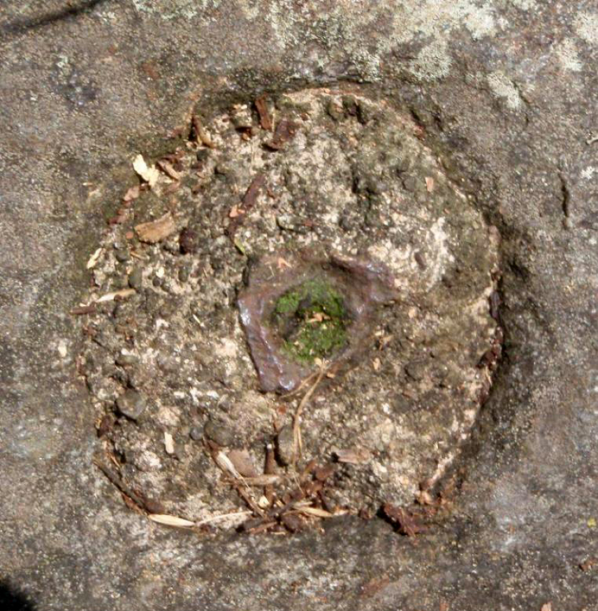
Surveyors have been working across the planet for centuries. They do it by determining the position of objects on the earth’s surface and making records. As technology evolves, so does the profession of surveying, and so do the methods available for finding and recording a point on the globe. Thomas Jefferson, George Washington and Abraham Lincoln were all surveyors in their early careers.
Hassler’s work would become foundational to coastal security. Today, NOAA’s National Geodetic Survey (NGS) provides the framework for all positioning activities, known as the National Spatial Reference System – in the United States. This information is critical to a wide range of important activities, including floodplain mapping, construction and engineering, and GIS data.
Data sheets are text files containing data for a survey control station. You can find the data sheet for Buttermilk on the National Geodetic Survey website. The bottom of the sheet contains all of the entries of the surveyors that found and used the mark over the past 190 years.


