Thirty years ago, NWS issued an unprecedented 5-day forecast.

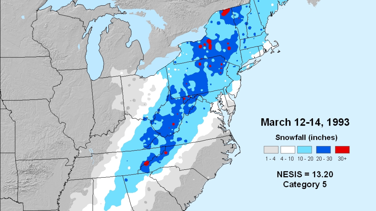
The Northeast Snowfall Impact Scale (NESIS) characterizes and ranks high-impact Northeast snowstorms. The 1993 Storm of the Century was considered a category 5 - Extreme - storm, the highest rank possible.
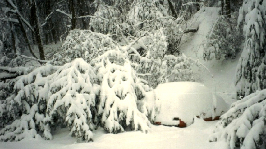
The Storm of the Century, which included record snowfalls and numerous tornadoes between March 12-14, 1993, is remembered for its extreme weather and the use of a new kind of weather forecasting process.
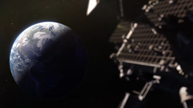
For the first time, National Weather Service forecasters were able to look at atmospheric conditions and create models to forecast a gigantic weather event five days in advance of its impact and provide storm and blizzard warnings two days in advance. This was unprecedented.

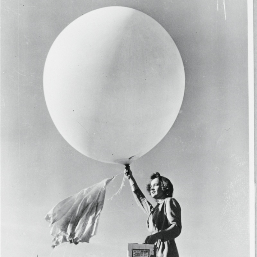
Weather forecasting models had existed since the 1950s, but advances in the global analyses, numerical modeling, and computing power increased their resolution and accuracy.
Although the storm inflicted great loss of life and a large economic impact, the toll would have been significantly higher without the warnings.
Hear recollections about the storm from Louis Uccellini, former Director of NOAA's National Weather Service:


