Census data will provide community-level hazard risk, vulnerability

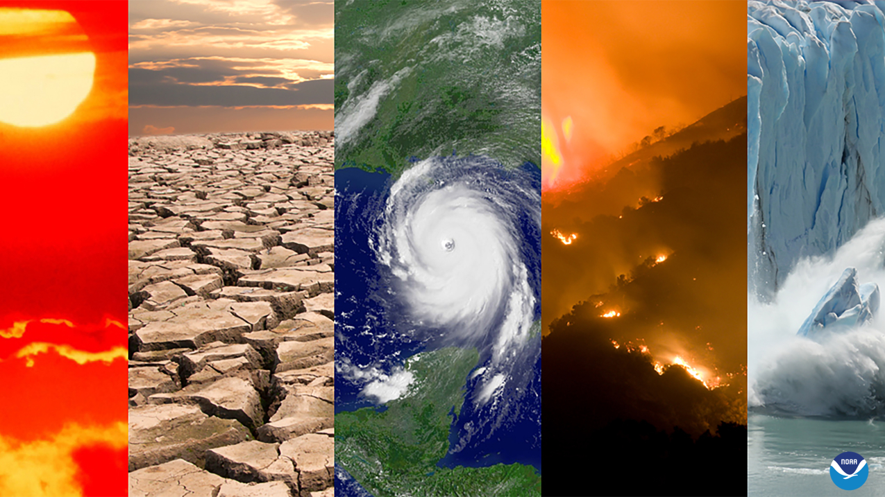
A collage of typical climate and weather-related events: heatwaves, drought, hurricanes, wildfires and changes in sea ice coverage. (Image credit: NOAA)
On Wednesday, July 27, NOAA will host a media briefing to demonstrate the latest update to the Billion-Dollar Disasters Mapping Tool that now provides users with supertargeted hazard risk data down to the community level.
Participants will learn how to navigate the tool as well as access and interpret the updated census tract information. A media question and answer session will immediately follow the demonstration.
Details are as follows:
WHAT
Virtual media demonstration of NOAA’s updated billion-dollar disaster mapping tool
WHEN
Wednesday, July 27, 11:00-11:45 a.m. ET (USA)
WHO
Adam Smith, billion-dollar disasters expert, NOAA National Centers for Environmental Information
HOW
Use this link to access the media briefing. offsite link (For the best experience, download the Adobe Connect app offsite link.)


