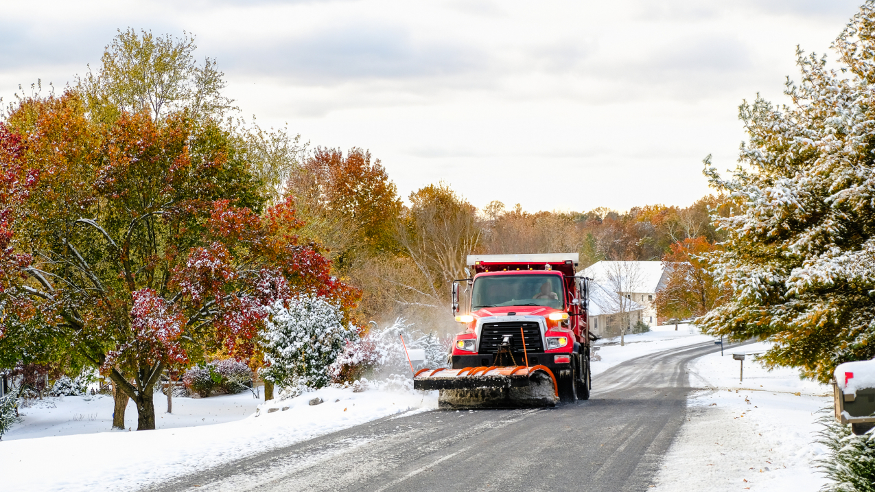
A first autumn snowfall: A snowplow-fitted truck heads down a local road in Missouri. Undated stock image. (Image credit: istock )
The U.S. moved into astronomical fall on September 22. From a weather point of view, though, we’re knee-deep in typical fall hazards, such as raging wildfires across the West and an remarkably busy hurricane season in the Atlantic. Depending on where you live, you might get snow — maybe lots of it.
To stay safe and healthy, simple but effective preparedness actions are key — and NOAA’s National Weather Service has you covered.
Check out these four safety tips you can use in the face of potential fall weather hazards highlighted in our latest public safety campaign, “Small Decisions Can Have a Big Impact.”
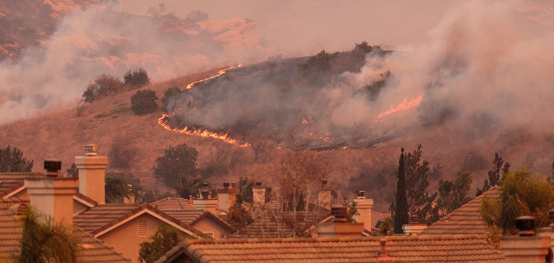
1. Prevent damage to life and property as wildfires threaten.
The devastating impacts of wildfires — from property damage to causing injuries to humans and animals — can be felt far and wide.
Fortunately, taking small precautions could potentially save not only your life, but also those around you:
-
Properly discard cigarettes;
-
Avoid activities with open flames or sparks; and
-
Use fire-resistant landscaping around your home.
Remember to check the forecast: A Red Flag Warning will alert you to critical fire weather conditions ongoing or expected to occur within the next 12-48 hours.
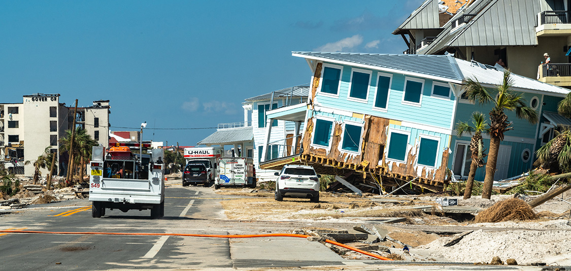
2. Know your risk during this unusually active hurricane season.
Even if you don't live in a hurricane surge evacuation area, it’s important to know your home's vulnerability to damage from high winds and inland flooding. Be sure to have a plan that includes an emergency kit and a safe place to shelter should you need to evacuate. The National Hurricane Center is the best resource for around-the-clock forecast information. (Note: For safety tips on evacuating during the COVID-19 pandemic, see these recommendations from the Centers for Disease Control and Prevention.)
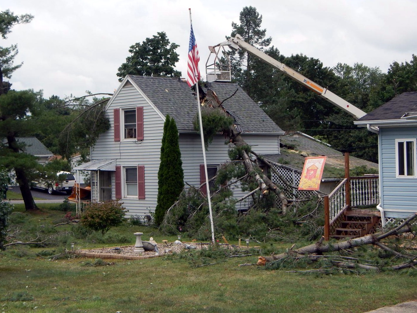
3. Even on a clear day, strong winds can pose a threat. Have a plan.
Clear isn’t always calm. When preparing for an extreme wind event, secure objects that can be tossed or rolled, trim trees near your home and have a plan in case of a power outage. Should a high-wind warning be issued, seek immediate shelter, preferably in an interior room or basement.
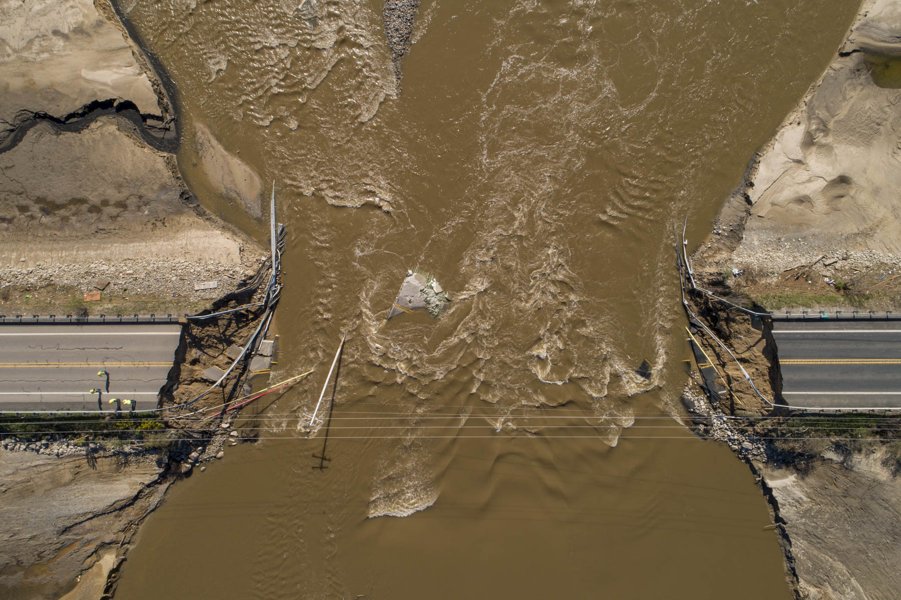
4. If you encounter flood waters, ‘Turn around don’t drown’.
Repeat after us: “It's never safe to walk or drive into a flooded roadway.” It's best to delay travel until roads are clear. Follow the advice of local officials. You might be told to stay put during flash flooding, but if river flooding takes place, be prepared to evacuate immediately when water starts to rise.
Go further: Interested in helping us build a Weather-Ready Nation this season? Visit our Fall Weather Safety website for sample social media posts, infographics, videos and presentation materials. Then, please share this potentially lifesaving information with everyone you know.


