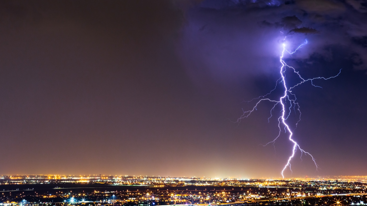
Lightning strikes over El Paso, Texas. (Image credit: Getty Images)
With summer heat comes pop-up thunderstorms across much of the U.S., leading to a daily threat of lightning and other thunderstorm hazards.
"While we all want to get out and enjoy vacation and time with friends and family over the summer, it is important to remember that When Thunder Roars, Go Indoors," said Aaron Treadway, lightning expert and Severe Weather Program Coordinator, NOAA’s National Weather Service (NWS). “Finding safe shelter in an enclosed structure or hard-topped vehicle from lightning ensures that the summer fun can continue for you and your family."
Here are 8 tools from NOAA to help you stay lightning safe and weather ready.
1. NWS's Lightning Safety webpage
Learn about what causes lightning, see statistics about lightning fatalities — and most importantly — find out what steps you can take to stay safe.
2. Your one-stop shop for forecasting: Weather.gov
The simplest way to stay safe from lightning is to know the weather forecast before you venture outside. If thunderstorms are in the forecast, plan in advance where you will seek shelter. When storms develop, we recommend sheltering in an enclosed building or inside of your hardtop vehicle.
3. NWS’s Lightning Climatology tool
The threat for lightning varies during the year and where you are in the U.S. The NOAA Storm Prediction Center’s Lightning Climatology tool helps assess your lightning risk on any given day. Learn how to use the tool.
4. NOAA’s Geostationary Lightning Mapper (GLM)
This instrument, which is placed on all of NOAA’s GOES satellites, can detect and track lightning from space. View real-time lightning data from the GLM and other live satellite products online.

5. NWS's Lightning Safety Toolkit Program
Are you an event planner? Help run the local pool? A boater? An adventurer who likes to visit national parks? NOAA’s Weather-Ready Nation initiative developed toolkits for various outdoor activities to help keep you and others safe from lightning.
6. See the probability of a cloud-to-ground lightning strike
NWS’s Multi-Radar, Multi-Sensor (MRMS) is a dataset of observations from the NWS Radar Network, surface and model observation, and now data from lightning networks across the country. To access the probability of a cloud-to-ground lightning strike — the kind most dangerous to humans — click “Hail/Lightning” on the bottom left of the MRMS viewer and select “Probability - 30 min” or “Probability - 60 min” to view the product. This tool, along with the GLM, helps you directly observe where lightning is or might occur.
7. Red, yellow, green: This ‘stoplight’ shows where lightning has struck
This tool displays where lightning has occurred over the last 30 minutes in an easy to understand red/yellow/green format. If you are in an area where the app shows red, that means lightning has recently occurred and you need to seek shelter now. This is a collaboration between NOAA and NASA's Short-term Prediction Research and Transition (SPoRT) group, using data from NOAA's GLM.
8. LightningCast Viewer offsite link
This tool can be used to predict the likelihood of lightning occurring over the next hour, and provides live NOAA GLM data. NOAA and the Cooperative Institute of Meteorological Satellite Studies at the University of Wisconsin-Madison partnered to create this tool.


