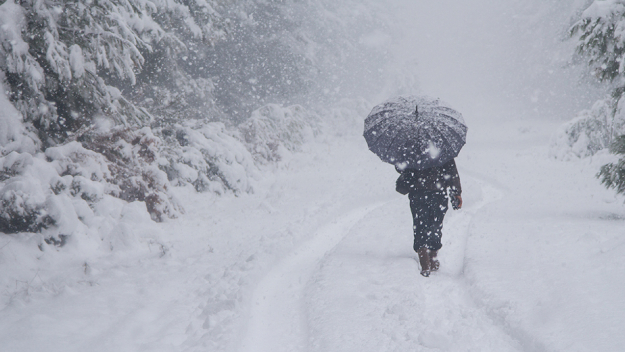
Snowstorm. (Image credit: iStock)
A major winter storm is hitting the Central U.S. from the Rockies across all of the Plains into the Upper Mississippi Valley this week, delivering blizzard conditions, severe thunderstorms and isolated flooding.
NOAA meteorologists say the weather system rapidly intensified and has reached a scientific classification called bombogenesis. This phenomenon is a rare one for the landlocked region and has the potential to break all-time, low-pressure records for parts of Colorado and Kansas. Millions of people are under warnings for winter storm, blizzard and high wind.
Bombogenesis: What is it exactly?
Bombogenesis occurs when a mid-latitude cyclone (sometimes referred to as a "bomb cyclone") rapidly or explosively intensifies over a 24-hour period. This type of storm system usually, but not always (as in this case), accelerates and strengthens over the ocean as its central pressure drops at least 24 millibars in 24 hours. (A millibar measures atmospheric pressure.)
What are some of the impacts?
The term bombogenesis is a meteorological one that specifically deals with the measurement of atmospheric pressure. The effects and hazards of this week’s fast-developing, low-pressure weather system include:
-
High, intense winds that can cause power outages;
-
Blizzard conditions with heavy, blowing snow and white-out conditions; and
-
Rainfall on snow that can cause river flooding.
Stay informed and stay safe by keeping track of NOAA’s Weather Prediction Center’s latest discussion on this winter storm and checking your local forecast at weather.gov using just your Zip Code.


