EXPLORE story map cover. (Image credit: NOAA)
"Staying on the surface of the ocean is like going to the circus and staring at the outside of the tent."
Dave Barry, writer
Ocean exploration tests us, educates us, and gives us hope.
It’s a captivating journey into the lifeblood of our planet.
As the only federal agency with a program dedicated to ocean exploration, NOAA leads U.S. efforts to dive deep into new frontiers, pushing the boundaries of ocean science and sharing the value and thrill of discovery.
NOAA Ocean Exploration is the steward of a pioneering ocean community, partnering with other NOAA offices and federal agencies, universities and U.S. and global organizations to explore at a depth of at least 656 feet.
2021 marks NOAA Ocean Exploration's 20th year of discovery.
Expedition teams return with data, discoveries and usually with more questions than they had at the start.
Each dive brings new insights, advancing ocean science and filling vital gaps in understanding the ocean and its intrinsic value to life above and below its waters.
Filling the gaps is critical to America's health, safety, prosperity and national security.
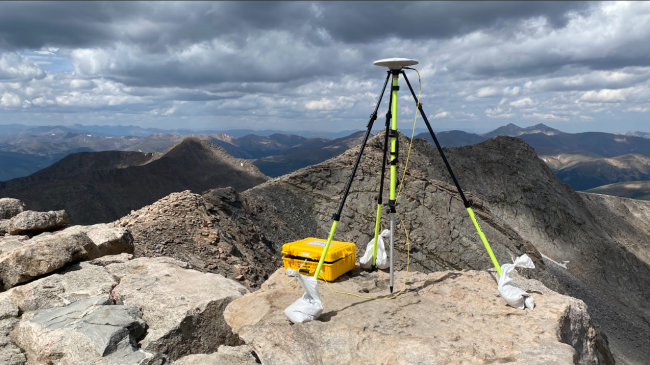
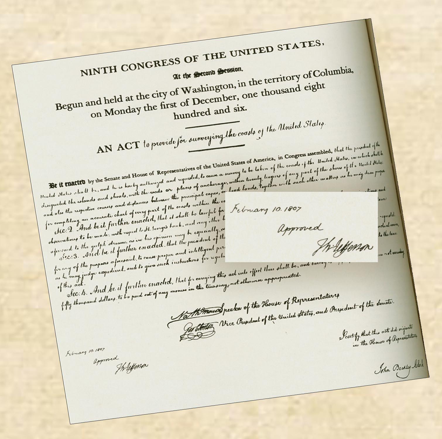
Exploring America’s waters is part of NOAA’s DNA. It was a priority of the Survey of the Coast, formed in 1807 and NOAA's first legacy agency. Early surveys hugged harbors and coasts, but soon began looking seaward.
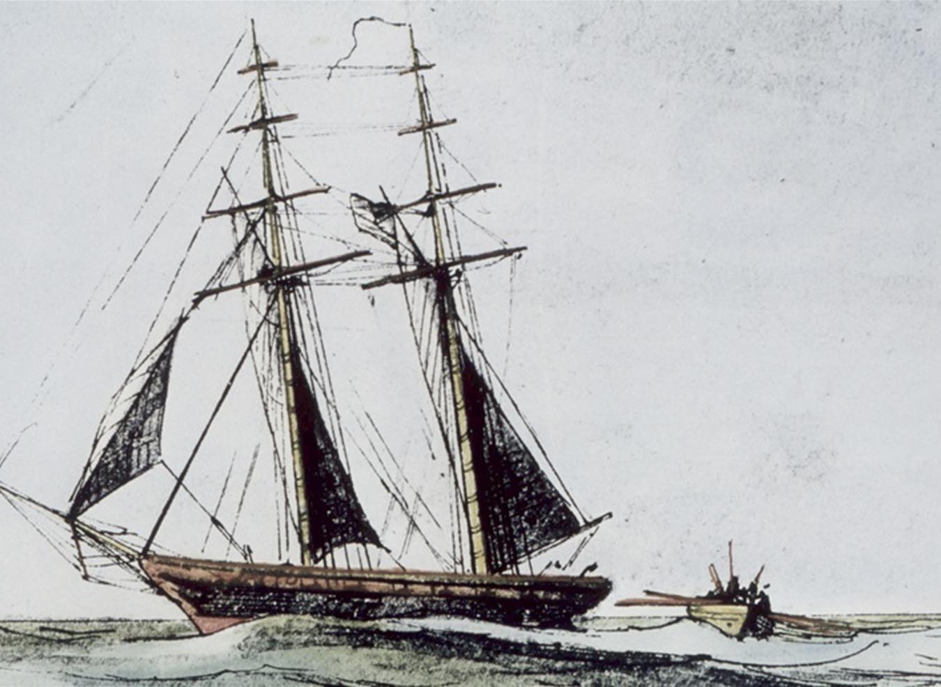

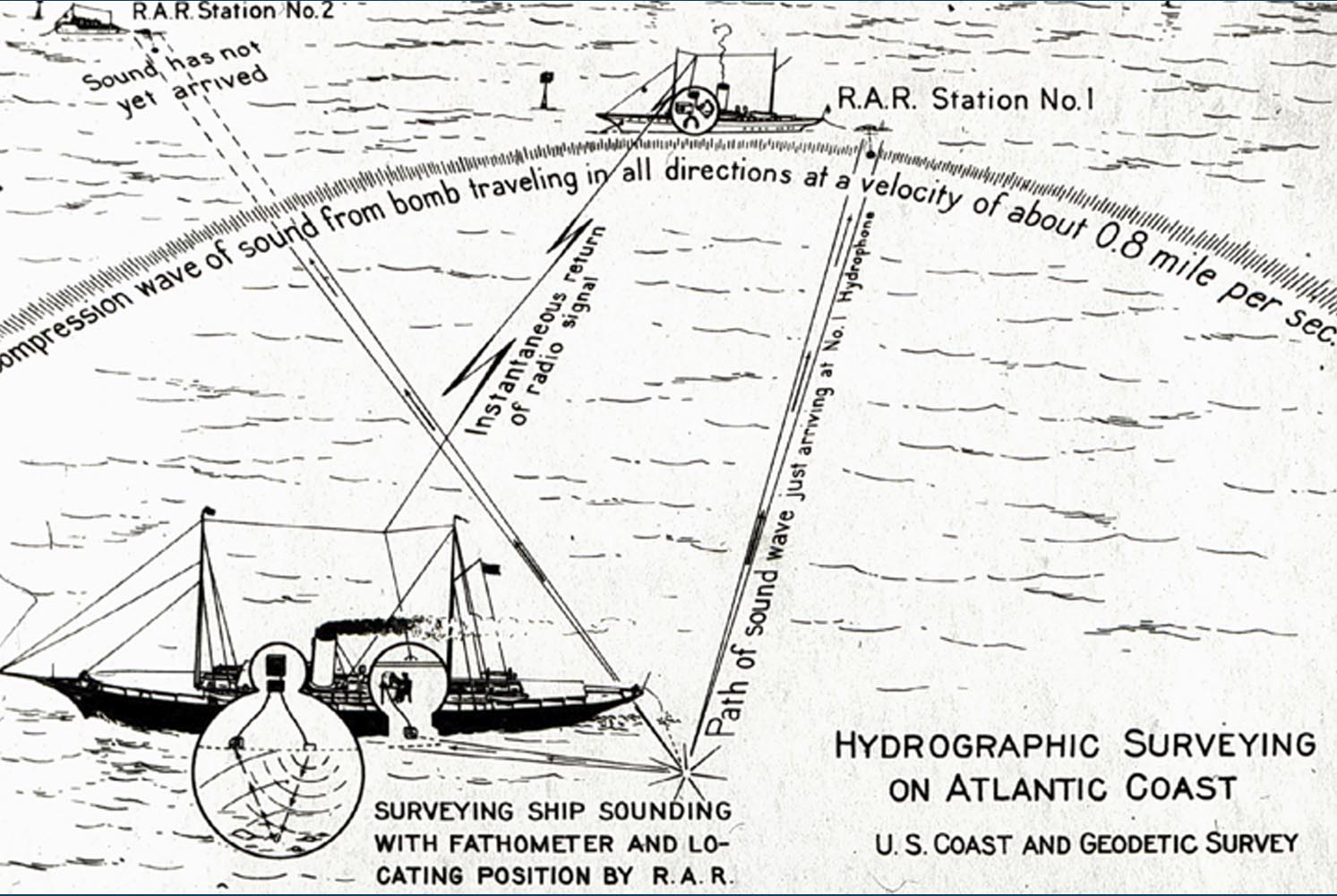
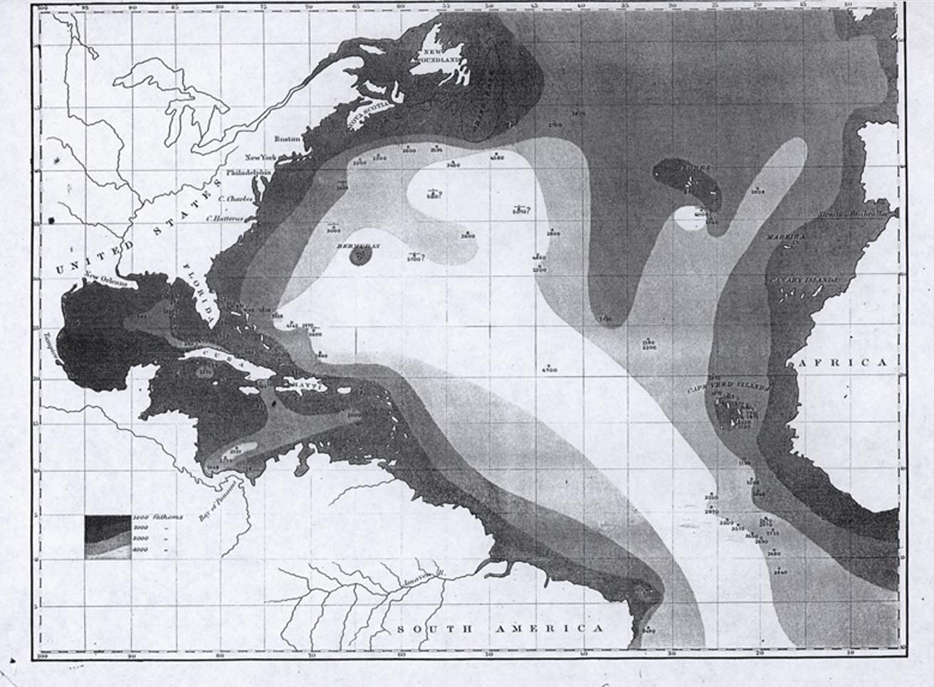
Most of our ocean is still unexplored, but there is great value in looking to the sea for services and solutions that address pressing societal needs.
Food security, life-saving medicines and energy reserves beckon from the sea.
Understanding, protecting and sustainably managing ocean habitats and their services are essential to a healthy economy.
Learning more about the ocean’s influence on climate is key to our future.
As the Blue Economy offsite link emerges, ocean exploration is a pillar of enormous promise.
But its value is even more profound. By exploring the deep ocean, and making the data publicly accessible, NOAA enables every sector to have information essential to balancing ocean resources and investing wisely and sustainably.
Balancing rapidly rising market demand and safeguarding ocean health and finite marine life are immense challenges demanding sound ocean management.
This requires understanding the still unknown and unobserved ocean, which is why NOAA's work in probing the deep ocean has never been more critical.
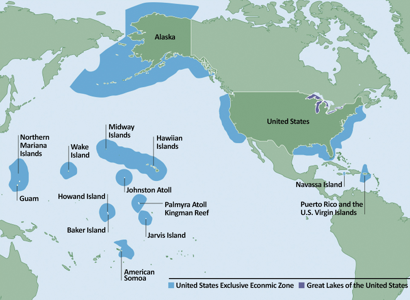
Just 46 percent of U.S. ocean, coastal and Great Lakes' waters and less than 20 percent of global waters have been mapped to modern standards.
In 2020, a NOAA-led federal task force called for fully mapping U.S. deep waters by 2030 and nearshore waters by 2040, and characterizing the priority areas within them.
This new U.S. strategy complements Seabed 2030 offsite link, a global initiative to map the entire ocean floor by 2030.
There is so much to discover! These previously unknown Pacific seamounts, for instance, show striking differences.
One seamount is several thousand feet higher than expected, indicating that the seamounts formed in different ways at different times. Does the life they host differ, too? Scientists do not yet know.
Technology is catching up to imaginations, opening vast new opportunities to explore in increasingly scientific, systematic and non-invasive ways, with findings shared publicly.
As the only federal vessel dedicated to exploring the unknown ocean, NOAA Ship Okeanos Explorer is a national asset.
Since NOAA Ocean Exploration's first expedition on Okeanos Explorer in 2010, every Ocean Exploration expedition aboard the ship has increased understanding of the deep sea, and nearly 750,000 square miles of seafloor have been mapped.
NOAA's Office of Marine and Aviation Operations and Ocean Exploration jointly manage Okeanos Explorer expeditions. NOAA CORPS officers and civilian professional mariners operate the ship.
Okeanos Explorer is an important platform for collecting critical baseline data, which are publicly available at NOAA’s National Centers for Environmental Information.
The data address fast-growing needs across widely diverse sectors and provide an intriguing foundation for further exploration.
Deep Discoverer keeps a sharp eye on the sea and has excellent sampling and imaging capabilities.
As Deep Discoverer explores, Seirios lights up the dark sea.
The dual-bodied, remotely-operated vehicle system can dive almost four miles into the sea. It's among the few systems enabling access to the deep ocean.
Pacific
2015 Hohonu Moana: Exploring the Deep Water off Hawai'i
This was the kick-off expedition of CAPSTONE, a three-year campaign in the Pacific that crossed international boundaries, exploring some of the last relatively pristine marine ecosystems on Earth.
Deep-sea baseline information was collected to support science and management in and around U.S. marine protected areas in the Pacific, in many places for the first time.
CAPSTONE was one of the largest U.S. exploration efforts ever undertaken. More than 230,000 square miles of seafloor were mapped, including over 300 seamounts.
Every U.S. marine monument in the Pacific was explored, covering more than one million square miles of ocean.
During this 2015 Hohonu Moana expedition, telepresence was used to share images of a newly discovered, centuries-old, deep-sea coral community that stunned scientists with its size, beauty and density.
Discovering a 12-foot by 7-foot sponge was another surprise. It's the world's largest known sponge and the size of a minivan. The sponge was discovered more than a mile deep in the Papahānaumokuākea Marine National Monument.
The sea offers tremendous promise as a source of vital drugs, and sponges have already proven their value, leading to breakthroughs in cancer and other life-threatening illnesses. Experts estimate that "at best, only half of the world's sponges have been discovered offsite link."
Partners for this expedition and the following four expeditions included academic institutions and other federal agencies and organizations and NOAA Research, NOAA Office of Marine and Aviation Operations, NOAA Fisheries, NOAA National Ocean Service, and NOAA National Environmental Satellite Data and Information Service.
Pacific
2016 Deepwater Exploration of the Marianas
There are so many fascinating features to explore in the Marianas that it has been called an amusement park for geologists. Its waters are among the deepest and most mysterious on Earth.
Five times longer and deeper than the Grand Canyon, the Mariana Trench is a hotbed of geological activity. For over 50 million years, Earth’s crust has been colliding in some areas and separating in others, forming trenches that, despite hostile conditions, harbor an extraordinary array of marine life.
Dense coral and sponge communities were explored in the region and, for the first time, documented with in situ images.
A particularly intriguing find was a new species of glass sponge. With its small oval head and wide eye-like features, the sponge was nicknamed E.T.
Abundant life was observed around hydrothermal vents. Spewing toxic waters that can top 600°F and are more acidic than vinegar, the vents transport heat and chemicals that help regulate ocean chemistry. Vast amounts of potentially valuable minerals accumulate in the process.
Many hundreds of animal species live at vents, most found nowhere else. Instead of relying on energy from light to create food as most marine life does, these animals survive on chemicals in vent fluids on the seafloor.
In the Marianas, scientists discovered the crash site of a B-29 lost during World War II. More than a dozen B-29s were lost in the area during the war, but this was the first crash site discovered, a significant find for families and organizations still searching for sites where service members were lost.
Gulf of Mexico
2017 & 2018
Like all Ocean Exploration expeditions, Gulf of Mexico expeditions were built on the priorities of NOAA scientists and managers, regional resource managers and the broader ocean science community.
Warm waters within the Gulf of the Mexico Basin are among the most productive, yet most ecologically-threatened in the world. But the roughly 200-million-year-old Basin is still largely unknown.
While exploring the Gulf, scientists collected baseline information for essential fish habitat in the Flower Garden Banks National Marine Sanctuary and other marine habitats. Most of these sites hosted vulnerable coral and sponge communities.
On the Gulf seafloor, scientists found at least 20 previously unknown habitats. Among them, cold seeps were giving shrimp and other small animals plenty to eat, although predators might swim by for a quick meal.
Deep-ocean cold seeps have an important global role in changing ocean chemistry and exploring them is vital to understanding the future global carbon budget and managing renewable energy resources.
Atlantic
Windows to the Deep 2019: Deep-sea Habitats of Southeastern U.S.
A resilient Atlantic is vital to ecological services such as seafood production and nutrient recycling, regulating climate, securing routes for travel and trade, and supporting a robust Blue Economy.
Recognizing the critical importance of healthy Atlantic waters, and the shared challenges, responsibilities and benefits of keeping them resilient, NOAA partnered with Canada and the European Union to explore them.
Despite some of the highest population growth in the U.S. and the Atlantic's inherent links to the region's quality of life, the deep waters off the Southeast coast are among the most poorly known areas on the East Coast.
During this expedition, more than 11,000 square miles were mapped, filling significant gaps and contributing to our nation's plan to fully map U.S. deep waters by 2030.
Scientists increased understanding of "Million Mounds," an astonishing complex of ancient coral mounds that have been growing and dying in the region for thousands and perhaps millions of years.
The mounds cover millions of acres of seafloor, comprising one of the most extensive deep-sea coral reef habitats ever found in U.S. waters. Mounds can reach a towering 262 feet.
Using multibeam sonar, NOAA scientists and partners searched for the geographic limits of the coral mound zone to inform resource management decisions.
From ship and via telepresence from shore, more than 130 scientists, resource managers and students from 27 states and eight nations joined this deep-sea expedition, experiencing the wonder and value of seeing an amazing, yet largely hidden world up-close.
Caribbean/Atlantic
Océano Profundo 2018: Deep-sea Habitats off Puerto Rico and the U.S. Virgin Islands
Local stakeholders were critical to the success of this expedition, which explored and/or mapped poorly known deep-sea habitats in seven marine protected areas.
Explorers reported compelling observations and discoveries on every dive, many avidly shared with scientists, resource managers and students in the U.S. and other nations.
Almost half of this expedition’s 19 dives explored areas targeted by the Caribbean Fishery Management Council, fishery biologists and local fishing community. Baseline data were collected, filling gaps in understanding population dynamics and the habitats of important species.
Five rare sea star species were documented, including two new species honoring major NOAA contributors to deep-sea research. One species is named for Dr. Martha Nizinski, a NOAA Fisheries’ research zoologist. The other is named for Deep Discoverer, Ocean Exploration’s intrepid robot.
With the knowledge of the local fishing community, the habitat of many different species was characterized, including a new depth record (nearly 2,000 feet) for the commercially important queen snapper.
Among the coral and sponge communities was a rare coral community seen at 6,500 feet. It's one of the deepest, most diverse and most densely populated coral communities ever discovered in the U.S. Caribbean.
Since the region is subject to earthquakes, tsunamis, landslides, and other geohazards, explorers mapped, surveyed and sampled geological features to build understanding of past and possible future events. They investigated a submarine landslide that likely caused a devastating 1918 tsunami.
Marine archaeology provides a glimpse into our past and insights about how sunken ships affect the marine environment.
Understanding how ships deteriorate in the deep sea also reveals ways of better protecting and preserving America's irreplaceable marine treasures.
Interact with a 3D model of a 19th-century ship offsite link.
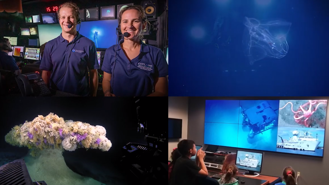
Telepresence revolutionized exploration. The technology aboard Okeanos Explorer invites anyone with web access, anywhere in the world, to become an explorer, in real-time.
Audiences on shore see the same mesmerizing images, at the same time, as those on ship. Deep-sea images, down to the seafloor, are beamed to classrooms, newsrooms, living rooms and exploration command centers.
Even from shore, scientists can map the seafloor. Resource managers get a close look at the habitats they are learning to manage.
When NOAA Ship Okeanos Explorer is at sea, live video streams on Ocean Exploration’s website: oceanexplorer.noaa.gov.
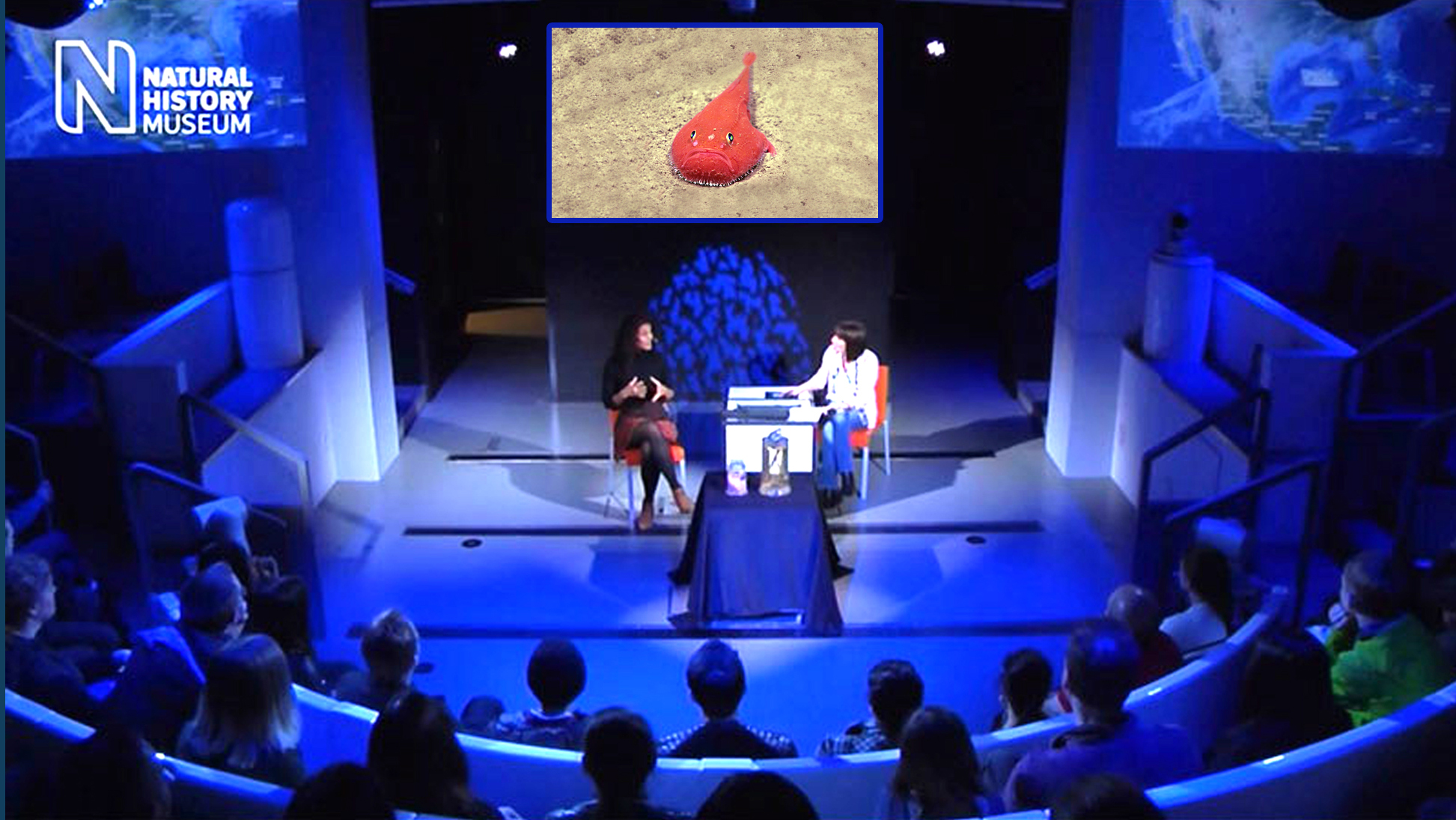
NOAA supports exploration through the Ocean Exploration Cooperative Institute, competitive grants, and the National Oceanographic Partnership Program.
The Ocean Exploration Cooperative Institute is a unique consortium with a challenging mandate to advance understanding of America’s vast underwater frontier.
Established by NOAA in 2019 and hosted at the University of Rhode Island, partners include the University of New Hampshire, University of Southern Mississippi, Woods Hole Oceanographic Institution, and the non-profit Ocean Exploration Trust.
Plans call for advancing broad-based exploration, industry partnerships, educational and outreach capabilities, and new modes of operation using a variety of platforms and systems.
Competitive grants fund interdisciplinary exploration activities, providing information and new tools to advance understanding of the ocean and the many mysteries within it. This year’s grant themes include exploration, technology and marine archaeology.
The National Oceanographic Partnership Program offsite link brings together federal agencies, academia and industry to advance ocean science research and education. By collaborating, federal agencies can leverage resources to invest in priorities that fall between agency missions or that are too large for any single agency to support.
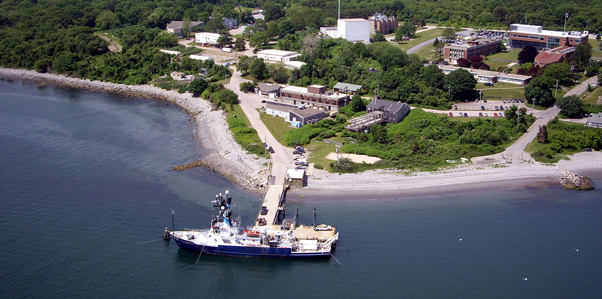
Among other Ocean Exploration initiatives, the Explorer-in-Training program aims to inspire and educate engineers, educators and new generations of ocean explorers. Internships may include an experience at sea, equipping students with skills for careers in ocean-related fields.
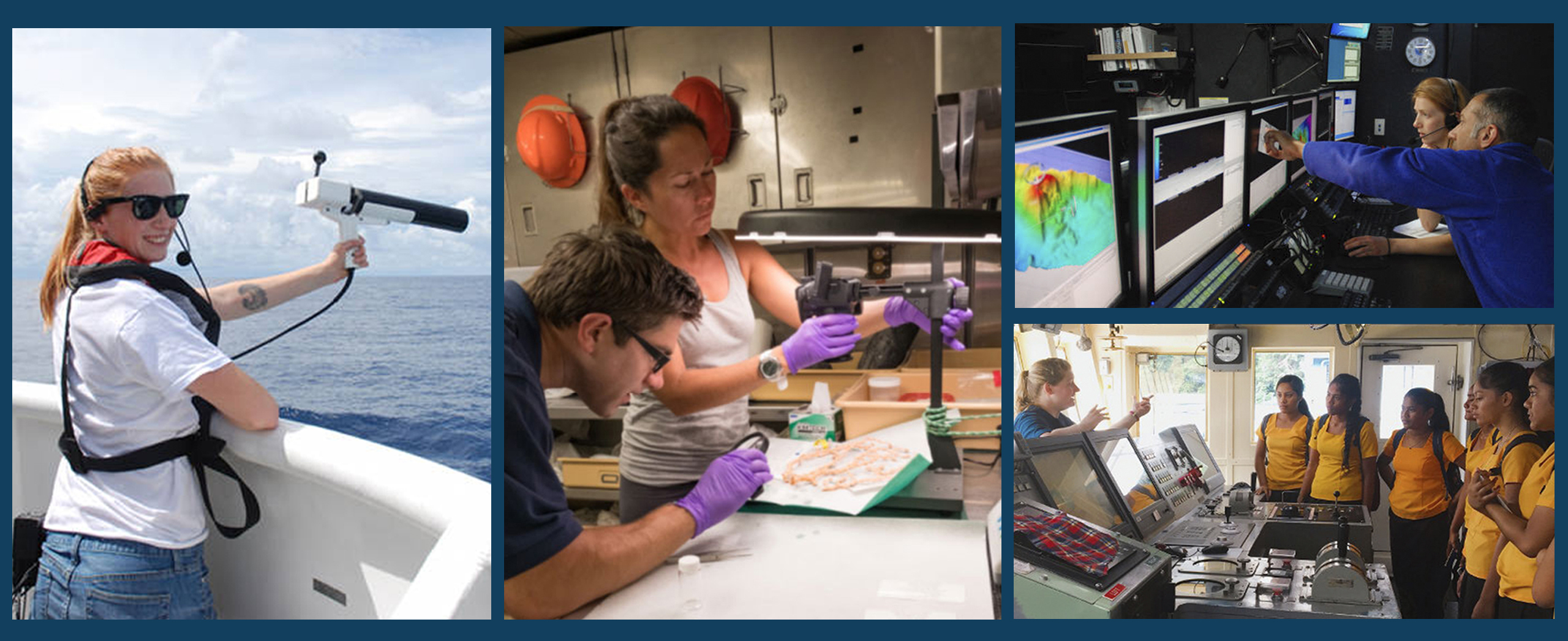
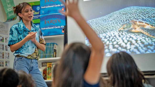
Through telepresence and materials targeted to educators, life in the sea comes alive in the classroom, bringing a front-row approach to ocean literacy and the intrinsic link between the health of the sea and all life on Earth.
To view the original NOAA story map, please see this version on the ESRI website offsite link.


