Fire cycle
- Before the fire
- During the fire
- After the fire
Fire cycle
- Before the fire
- During the fire
- After the fire
NOAA plays a major role in helping federal, state, local and tribal partners prepare for upcoming fire seasons by providing seasonal outlooks and forecast products which characterize anticipated moisture and fuel conditions that enhance the risk of fires.
El Niño and La Niña, collectively referred to as ENSO (El Niño-Southern Oscillation), are the warm and cool phases of the tropical Pacific Ocean that significantly influence precipitation patterns across the western United States during the critical winter and spring wet seasons. NOAA’s ENSO Outlooks help fire managers anticipate regional fuel conditions to predict regions of high risk and pre-position firefighting assets and resources where they will be most needed.
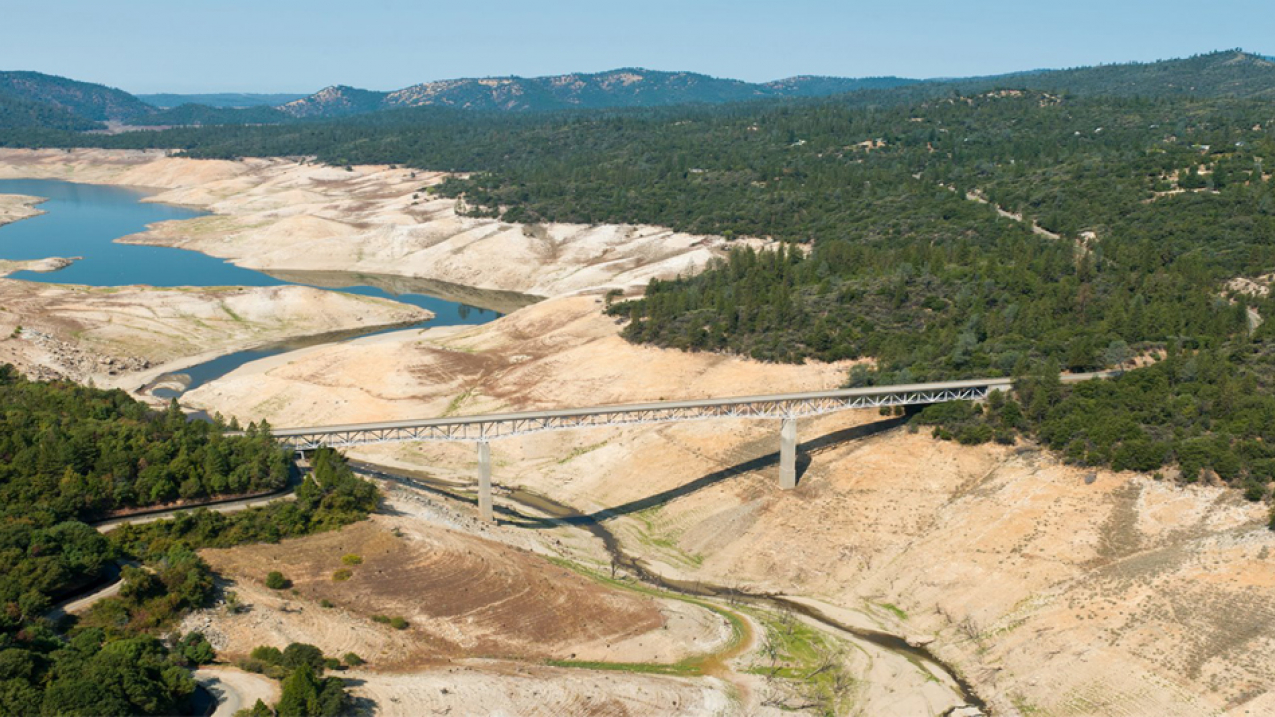
Dry, hot, and windy weather that often accompanies drought dries out woody material, grasses and other fuels, increasing the risk that any fire start will grow into a significant wildfire. NOAA experts contribute to the National Drought Mitigation Center’s Weekly Drought Monitor offsite link. NOAA’s Drought.gov maintains a dashboard which shows up-to-date fire weather conditions, outlooks and related information.
NOAA's National Weather Service maintains a wildfire weather safety page with valuable information on how to stay alert and prepared to respond to a wildfire threat. Check Weather.gov for the latest Fire Weather Watches and Red Flag Warnings where fire danger is most immediate. Air Quality Alerts, issued in part for unhealthy levels of smoke, are generated by local authorities and relayed by local NWS offices.
NOAA's Climate Prediction Center issues El Niño and La Niña outlooks, which provide forecasts of seasonal shifts in the Pacific Ocean El Nino Southern Oscillation that often correlate with future drought conditions in the western U.S. up to a year or more in advance. The Climate Prediction Center also issues seasonal temperature, precipitation, and drought outlooks that predict conditions relevant to the flammability of fuels on the landscape up to three months in advance. These products are used by the National Interagency Fire Center to produce fire risk outlooks.
NIDIS, the National Integrated Drought Information System, is a multi-agency partnership that coordinates drought monitoring, outlooks and forecasting, planning, and information at federal, tribal, state, and local levels across the country. Its website, drought.gov, provides comprehensive and constantly updated drought status and impact information, including issues related to wildfire management.
NOAA uses available assets and new technologies to characterize ground conditions to assist in fuel condition assessments used to determine vulnerability to wildfires and rapid wildfire growth. The VIIRS instruments (Visible Infrared Imaging Radiometer Suite) on JPSS and NOAA-20 also provide extensive data about vegetation health, which can be used to assess the preconditions for ignition and spread of wildfires.
NOAA's Storm Prediction Center produces 1 to 8 day fire weather outlooks and other fire forecast products. NOAA weather and climate forecasts are used by the National Interagency Coordination Center to generate National Significant Wildland Fire Potential Outlooks, monthly products designed to help fire officials prepare for wildfire activity. NOAA's National Weather Service generates short-term forecasts for fire weather across the contiguous U.S, while local forecast offices issue Red Flag Warnings, Fire Weather Watches and Extreme Fire Behavior Alerts when conditions are especially favorable for wildfire ignition and growth.
Fire cycle
- Before the fire
- During the fire
- After the fire


