NOMEC Council Resources
NOMEC Council Links
NOMEC Council Resources
NOMEC Council Links
The United States Exclusive Economic Zone (EEZ) is one of the largest in the world, yet most of this area is still unmapped, unobserved, and unexplored.
A comprehensive understanding of our ocean is fundamental to advancing science, building ocean-related industries, informing decisions that balance ocean use and conservation, and enhancing the Nation’s prosperity and security. That’s why the United States has set forth the ambitious National Strategy for Mapping, Exploring, and Characterizing the United States Exclusive Economic Zone (NOMEC Strategy).
The NOMEC Strategy is an ambitious multi-decadal plan that will be a key tool in implementing the United States’ vision for ocean science and technology. Read more about the NOMEC Strategy here -->
A far greater percentage of the United States EEZ is unexplored and uncharacterized.
The United States EEZ is bigger than all 50 states combined.
The United States EEZ stretches up to 200 nautical miles from shore and is one of the largest in the world.
Why map, explore, and characterize the ocean?
CLIMATE RESILIENCE
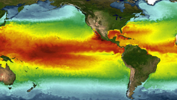
The ocean stores more heat and absorbs more greenhouse gases from the atmosphere than any other environment on Earth. Understanding our ocean from surface to seafloor will help us predict, mitigate, and adapt to a changing climate. By mapping, exploring, and characterizing, we can inform decision making to address climate challenges, including filling in gaps in data and long-term observations, supporting global climate models, siting offshore clean energy, predicting storms and tsunamis, and improving coastal resilience.

A BLUE ECONOMY
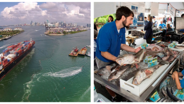
3 million Americans currently work in the maritime sector, representing over $300 billion in goods and services. An ocean-based economy— a blue economy—can help economic recovery by promoting new jobs in shipping, clean energy, aquaculture, and more. Mapping, exploration, and characterization provide a baseline for the ocean economy, which helps understand and therefore minimize potential environmental impacts while improving outputs of a productive blue sector. A well-mapped ocean is needed for safe navigation for marine transportation, siting of aquaculture facilities, and maximizing yields of clean energy.

INTERNATIONAL LEADERSHIP
Our ocean is global, and U.S. leadership is too. In committing to mapping, exploring, and characterizing the EEZ, the United States leverages partnerships with international ocean exploration efforts, like the UN Decade of Ocean Science for Sustainable Development and The Nippon Foundation-GEBCO Seabed 2030 project. The NOMEC Strategy places the United States at the forefront of ocean science and technology and demonstrates U.S. leadership in the ocean science and technology.


