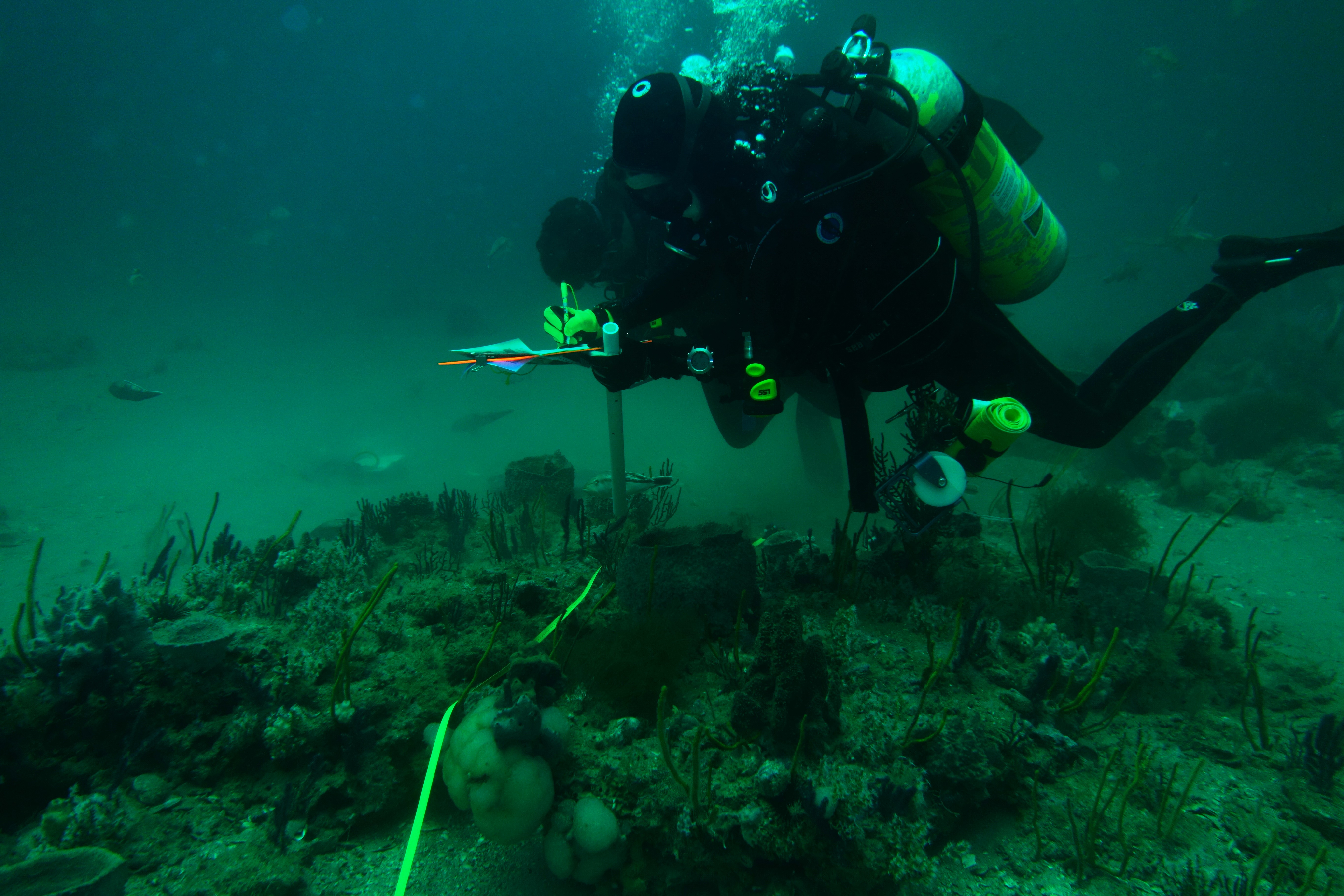
As an authoritative source of ocean and coastal environmental intelligence, NOAA provides the best available science and data on oceanographic and atmospheric conditions, ocean resources and interactions between offshore wind energy projects and marine species, habitats and ocean users.
NOAA compiles and synthesizes data used to monitor and assess marine life, marine ecosystems, ocean and atmospheric conditions and potential impacts on a variety of ocean uses. NOAA also develops publicly available data and tools, such as bathymetry and seafloor composition maps, nautical charts, Marine Cadastre (in partnership with BOEM), OceanReports and Integrated Ocean Observing System portals that facilitate data sharing between government and offshore wind industry partners to better apply updated information to planning and siting decisions.
These foundational and integrated data on ocean activities, resources and socioeconomics — along with analyses and models on the impacts of ocean co-use — enable informed discussions and an efficient planning and permitting process for offshore wind energy development.


