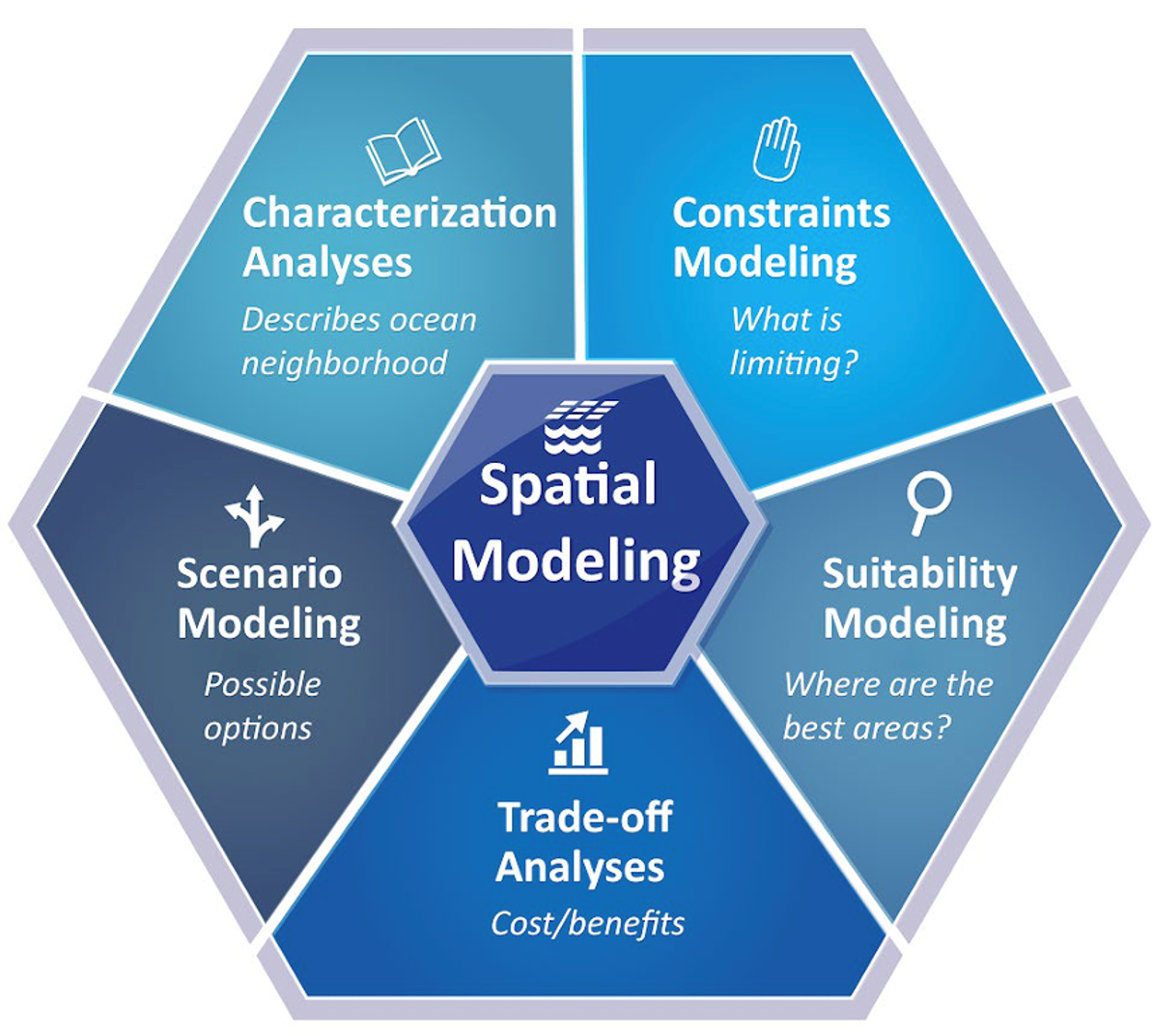
NOAA is assisting BOEM with siting offshore wind energy by developing comprehensive spatial models that consider hundreds of types of data to help characterize ocean environments and industries. These models help stakeholders understand the footprints and interactions between existing industries and other uses, natural resources and pioneering new sectors such as wind energy.
Spatial models for ocean planning feature a wide variety of data types. Some examples include:
- Fishing grounds.
- Vessel traffic.
- Aquaculture areas.
- Undersea cables.
- Military areas.
- Distribution and densities of whales and sea turtles.
- Sensitive habitats, such as corals.
- Oceanographic characteristics.
- Wind energy production potential.


