Introduction to Doppler Radar
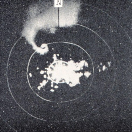
Radar is the most effective tool for detecting precipitation. The earliest days of weather radar date back to the 1940s, but advancements in technology since then have made radar one of the most important tools for meteorologists to use to warn the public of hazardous weather.
Radar is the most effective tool for detecting precipitation. The earliest days of weather radar date back to the 1940s, but advancements in technology since then have made radar one of the most important tools for meteorologists to use to warn the public of hazardous weather.

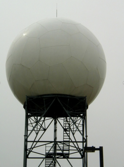
NEXRAD (Next Generation Weather Radar)
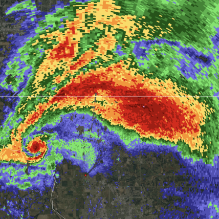
The Next Generation Weather Radar system is a network of 160 high resolution Doppler radars around the world, operated jointly by the National Weather Service, Federal Aviation Administration, and the Department of Defense. The individual radar unit, WSR-88D, or NEXRAD, is the most advanced operational weather radar (ie: used in real-time for weather forecasts and severe weather warnings) in the world. The network of radars operate 24/7 providing precipitation and wind data to meteorologists in support of warning and forecast operations. Real time data is also made available to the public.
Around 2012, the network of radars received a major upgrade to dual-polarization. This upgrade has improved meteorologists’ ability to identify precipitation type (rain, sleet, snow, hail, etc.), estimate rainfall for flash flood warnings, identify debris associated with tornadoes, and locate conditions for possible tornado development.


