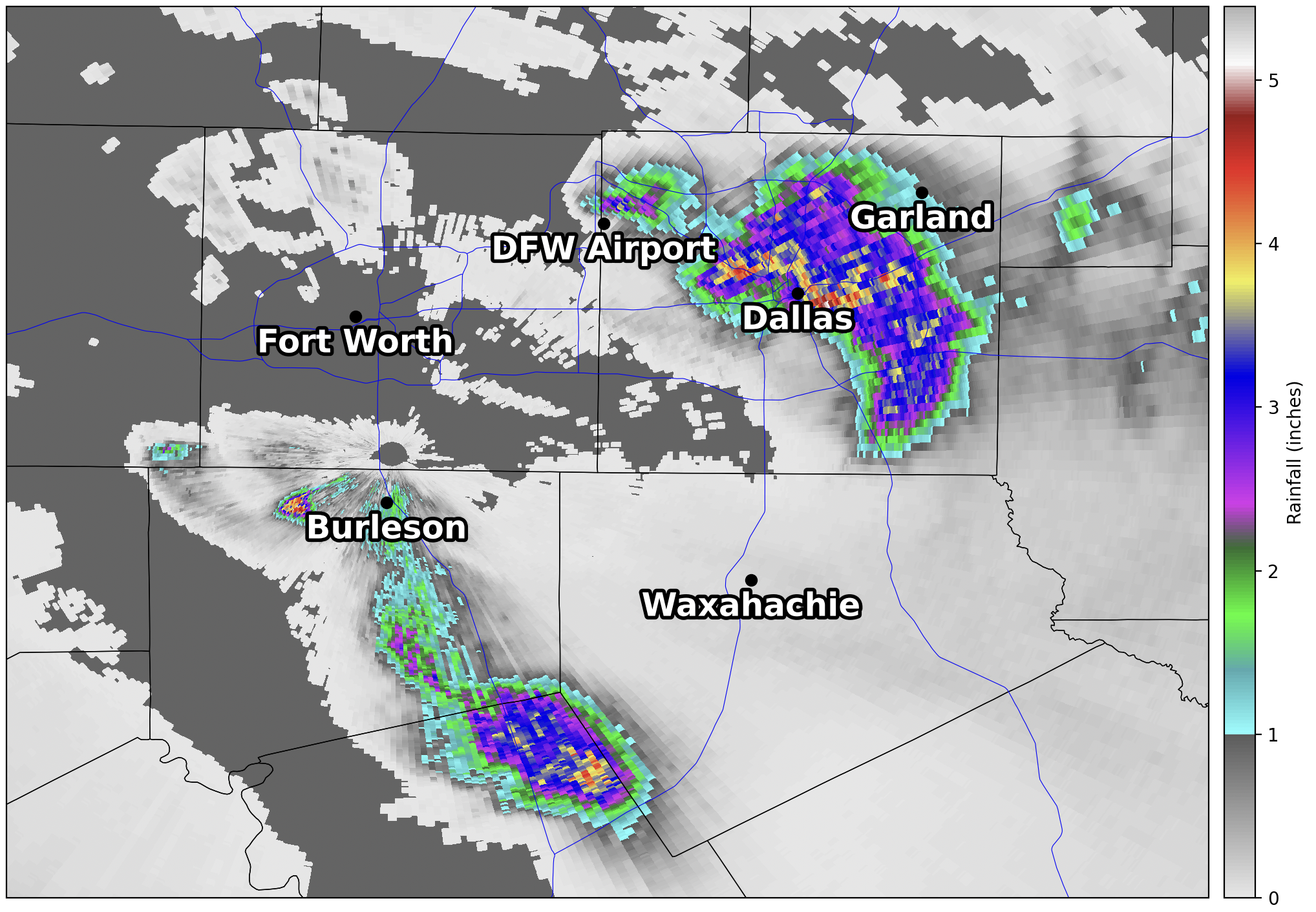
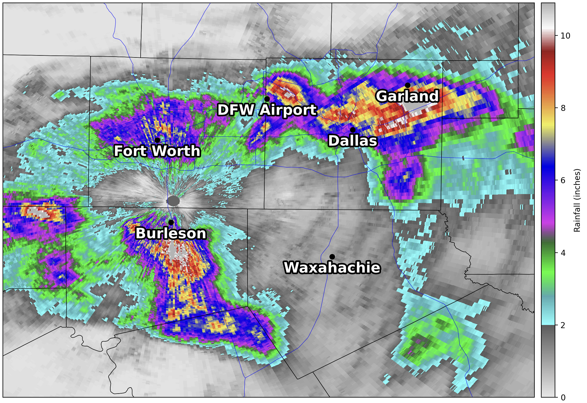
One of the more widely used products that the WSR-88D radars produce are the precipitation estimation products. These products give an estimate of how much rainfall has occurred over an area for a given time, and are often used to help forecasters issue timely warnings for flash flooding. The dual-polarization upgrade has also benefited these products as they have become more accurate. Remember that the dual-polarization upgrade allowed information to be obtained about rain drop size and intensity. This information is used to improve rainfall estimation. There are generally two main products available for precipitation estimation. Let’s take a look:
One Hour Rainfall Estimation
The one hour rainfall estimation product shows the amount of precipitation that has fallen over the last hour and is continuously updated. This short duration estimation is helpful when very heavy rainfall occurs in a short period of time.

Storm Total Accumulation Estimation
The storm total accumulation estimation product shows the amount of precipitation that has fallen since the radar was last reset (the radar precipitation estimation products automatically reset after 1 continuous hour of no precipitation echoes being detected). This product is very helpful in showing areas that have received heavy rainfall over a number of hours. The one-hour precipitation estimation product can be used with the Storm Total Accumulation product to indicate current storms producing heavy rainfall in areas that may have already seen heavy rains prior.


